This copy is copyright protected.
Copyright © 2025 Geographicus Rare Antique Maps
1902 National Publishing Map of the White Mountains, New Hampshire
WhiteMountains-nationalpublishing-1902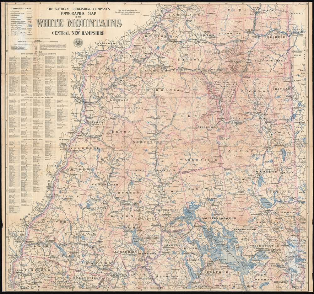

Copyright © 2025 Geographicus Rare Antique Maps | Geographicus Rare Antique Maps
This copy is copyright protected.
Copyright © 2025 Geographicus Rare Antique Maps