This copy is copyright protected.
Copyright © 2025 Geographicus Rare Antique Maps
Digital Image: 1867 Sá da Bandeira Map of the Zambezi River and Environs
Zambezi-sadabandeira-1867_d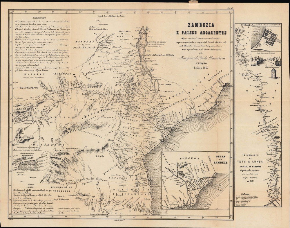

FOR THE ORIGINAL ANTIQUE MAP, WITH HISTORICAL ANALYSIS, CLICK HERE.
Digital Map Information
Geographicus maintains an archive of high-resolution rare map scans. We scan our maps at 300 DPI or higher, with newer images being 600 DPI, (either TIFF or JPEG, depending on when the scan was done) which is most cases in suitable for enlargement and printing.
Delivery
Once you purchase our digital scan service, you will receive a download link via email - usually within seconds. Digital orders are delivered as ZIP files, an industry standard file compression protocol that any computer should be able to unpack. Some of our files are very large, and can take some time to download. Most files are saved into your computer's 'Downloads' folder. All delivery is electronic. No physical product is shipped.
Credit and Scope of Use
You can use your digial image any way you want! Our digital images are unrestricted by copyright and can be used, modified, and published freely. The textual description that accompanies the original antique map is not included in the sale of digital images and remains protected by copyright. That said, we put significant care and effort into scanning and editing these maps, and we’d appreciate a credit when possible. Should you wish to credit us, please use the following credit line:
Courtesy of Geographicus Rare Antique Maps (http://www.geographicus.com).
How Large Can I Print?
In general, at 300 DPI, you should at least be able to double the size of the actual image, more so with our 600 DPI images. So, if the original was 10 x 12 inches, you can print at 20 x 24 inches, without quality loss. If your display requirements can accommodate some loss in image quality, you can make it even larger. That being said, no quality of scan will allow you to blow up at 10 x 12 inch map to wall size without significant quality loss. For more information, it is best consult a printer or reprographics specialist.
Refunds
If the high resolution image you ordered is unavailable, we will fully refund your purchase. Otherwise, digital images scans are a service, not a tangible product, and cannot be returned or refunded once the download link is used.
Bernardo de Sá Nogueira de Figueiredo, 1st Marquess de Sá da Bandeira (September 26, 1795 - January 6, 1876) was a Portuguese politician who served as Prime Minister of Portugal five times between 1836 and 1870. Born to a noble family in Santarém, he fought on the liberal side during the Liberal Wars (1828 - 1834), when he was injured and had to have his right arm amputated. Sá da Bandeira was a prominent abolitionist and worked to abolish slavery in Portugal's colonies. He was known as a workaholic and a prolific reader who took a special interest in Portugal's colonies in Africa. Thanks to his military experience, he had cartographic training and was committed to developing accurate maps of the African interior. He was deeply concerned about expanding British influence in Africa and in 1861 compiled multiple sources to produce the most accurate map of the Zambezi River to date, with the tacit intention of buttressing Portugal's claims to the interior. Three years later, he co-authored a similar map of the interior of Angola. (The dream of Portuguese colonial advocates at the time was a Portuguese 'band' across Africa connecting Angola and Mozambique.) The city of Lubango in Angola was named after him from 1923 until the end of the Portuguese colonial period. More by this mapmaker...
Imprensa Nacional (1732 - present) is the national press of Portugal. Its origins lie in the Fábrica dos Caractéres, founded in 1732, which then merged with the Régia Oficina Tipográfica in 1768. In 1833, its name was changed to the Imprensa Nacional. The press publishes all manner of official government documents, from reports and maps to passports and stamps. In 1972, it merged with the national mint, the Casa da Moeda (dating to the 13th century), and was reformulated as a public corporation under the auspices of the Ministry of Finance. Learn More...
J. M. F. Palha (fl. c. 1863 – 1875) was a Portuguese cartographer and engraver who produced maps of Lisbon, Portugal, and Macau. Learn More...
Copyright © 2025 Geographicus Rare Antique Maps | Geographicus Rare Antique Maps
This copy is copyright protected.
Copyright © 2025 Geographicus Rare Antique Maps