Most recently added antique and rare maps as of 11/22/2024.
First Municipal Council Maps - the origins of modern Shanghai.
$45,000.00
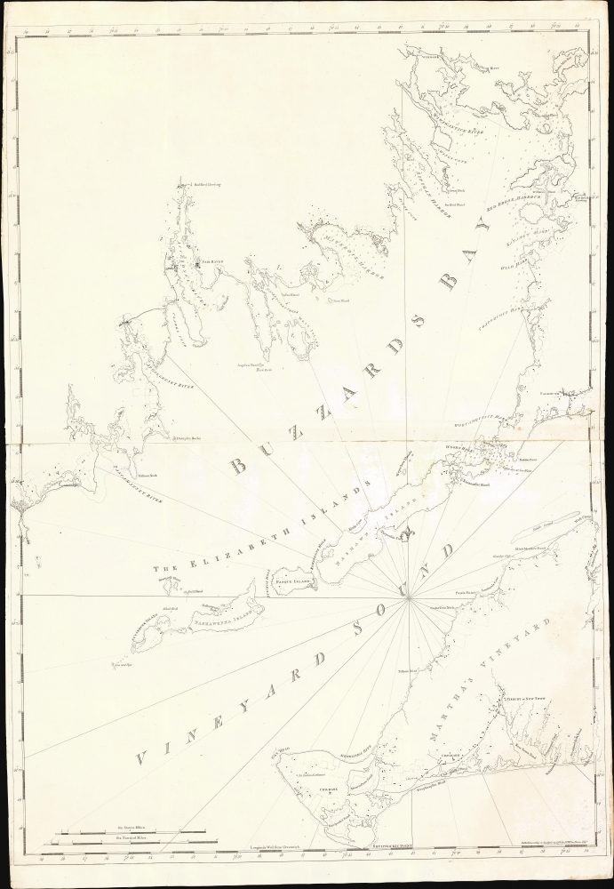
Earliest detailed mapping of western Martha's Vineyard.
$20,000.00
A most unusual compilation.
$1,200.00
Canada's Cornucopia of Coal.
$1,100.00
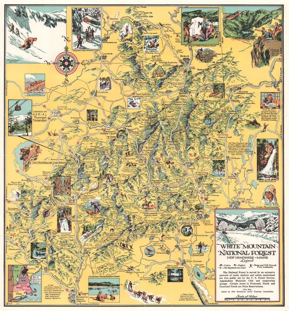
Enjoy outdoor adventure in White Mountain National Forest.
$950.00
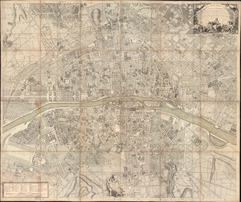
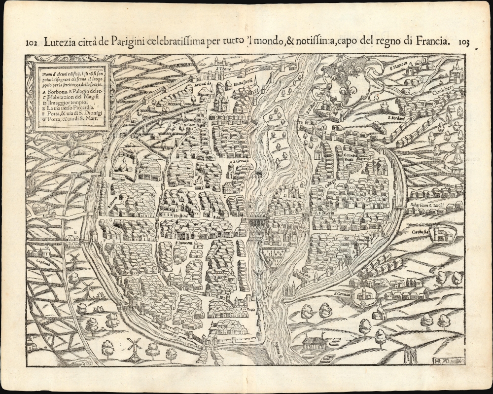
Italian Edition of the Earliest Acquirable Plan of Paris.
$900.00
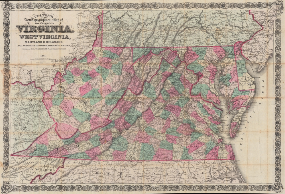
Virginia and West Virginia during Reconstruction.
$850.00
Bird's-eye view of the White Mountains advertising rail service.
$450.00
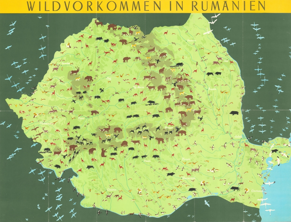
Hunting in Cold War Romania.
$225.00
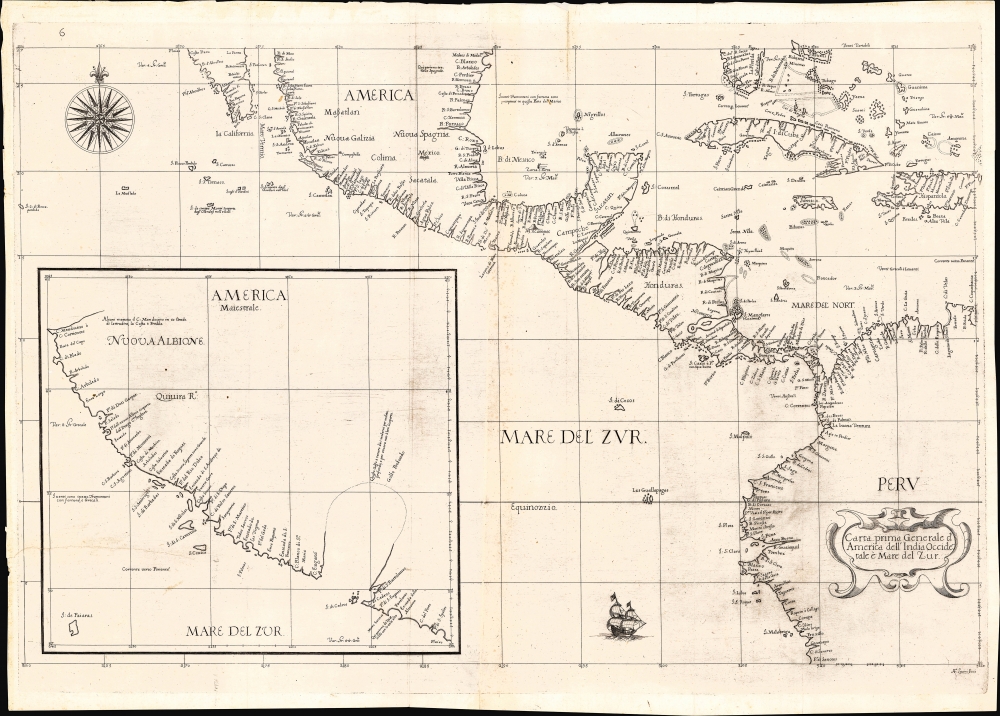
Earliest published sea chart focusing on the California coast!
$7,000.00
Whimsical tribute to the oddities of New York.
$2,250.00
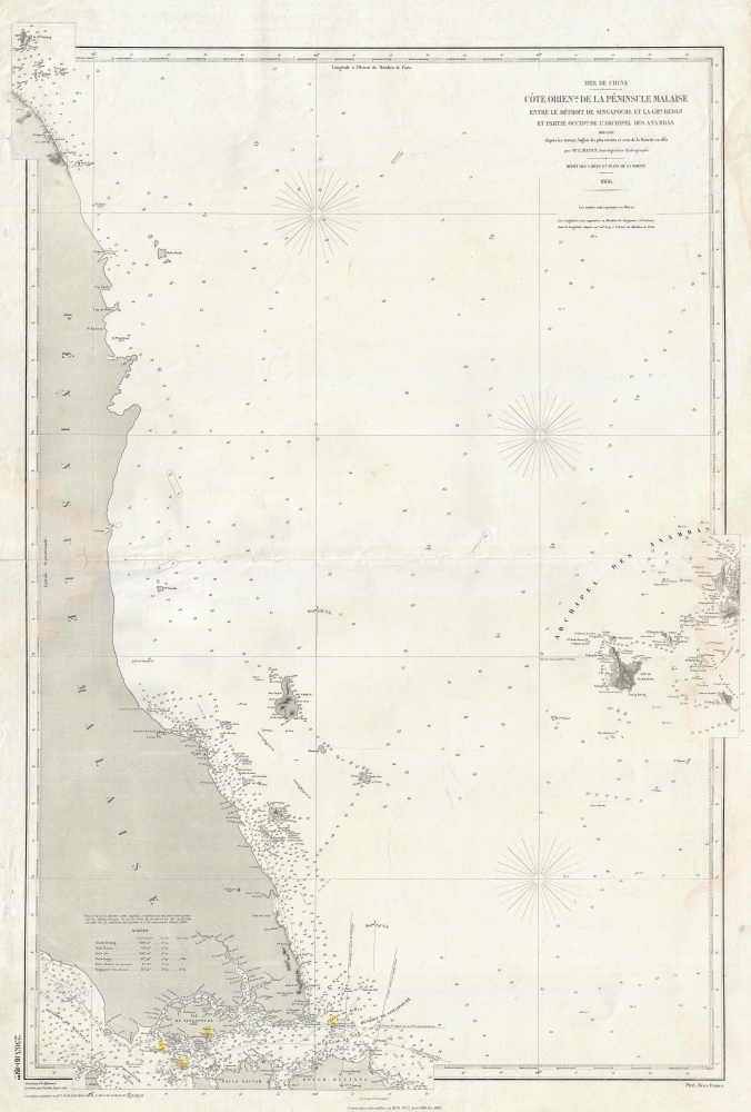
French in Singapore.
$950.00
Most dangerous Maritime passage in West Africa.
$850.00


