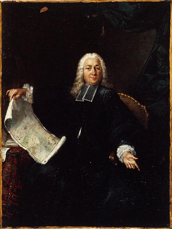
Jean Delagrive (1689 - April 18, 1757), a.k.a 'de La Grive', was a French Lazarist priest, geographer, engraver, and geometrist active in Paris in the first half of the 18th century. Delagrive was born in Sedan, Ardennes, France. After initial studies in the Ardennes, he came to Paris and entered the congregation of the Mission or congregation of the priests of Saint-Lazare. In 1713, after being ordained, he was sent to Krakow, Poland, to teach theology. He returned to Paris in 1714 and thenceforth dedicated himself to the study of geometry and cartography. His first plan of Paris was produced in 1718, but being a perfectionist, he was unsatisfied with the product and destroyed the plates. He published a second map of Paris in 1728, which earned him the post of official geographer of the city of Paris. The plan was definitive for its geometrical precision and accuracy. He continued to publish works on Paris, its environs, Versailles, and the course of the Seine until about 1745. In 1733, he assisted César-François Cassini in measuring of the meridian of the Paris Observatory. It is also one of his maps that first presents the name Champs-Élysées. Within the order of Saint-Lazare, he attained the status of Abbot and is often referred to as Abbé Delagrive. Delagrive died in 1757.