Most recently added antique and rare maps as of 6/30/2025.
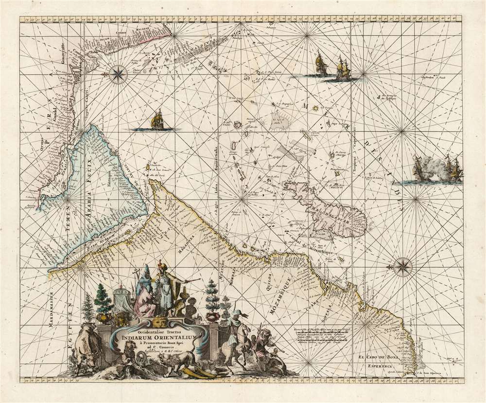
Magnificent chart with masterful engraving.
$825.00
Battle of Sebastopol by a female viewmaker.
$950.00
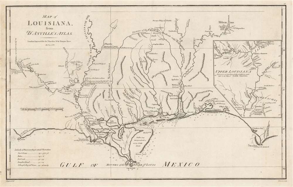
Best obtainable Colonial Era map of the Mississippi Delta, in an English Edition.
$950.00
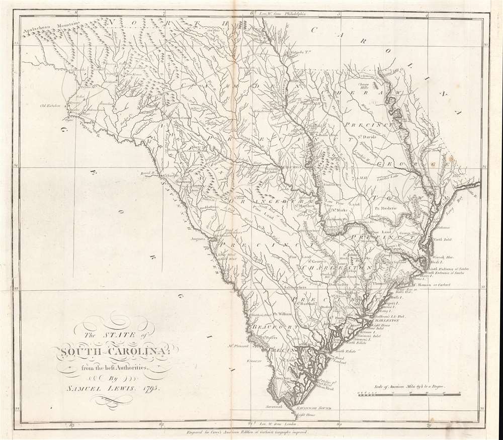
Earliest map of South Carolina published in the United States.
$950.00
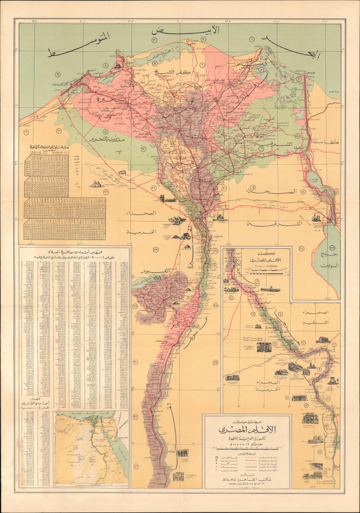
Modernization of Egypt's Infrastructure.
$950.00
Halting the German Advance into Belgium.
$950.00
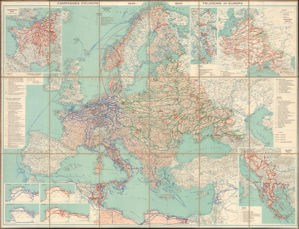
Comprehensive visual summary of World War II in Europe.
$950.00
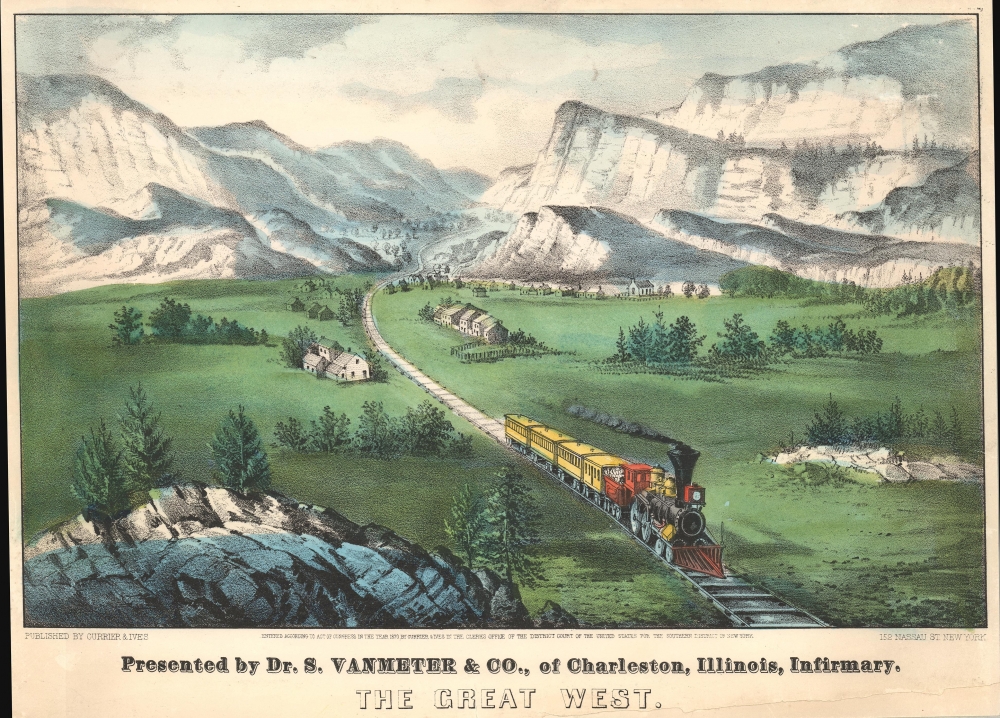
Romance of the West.
$650.00
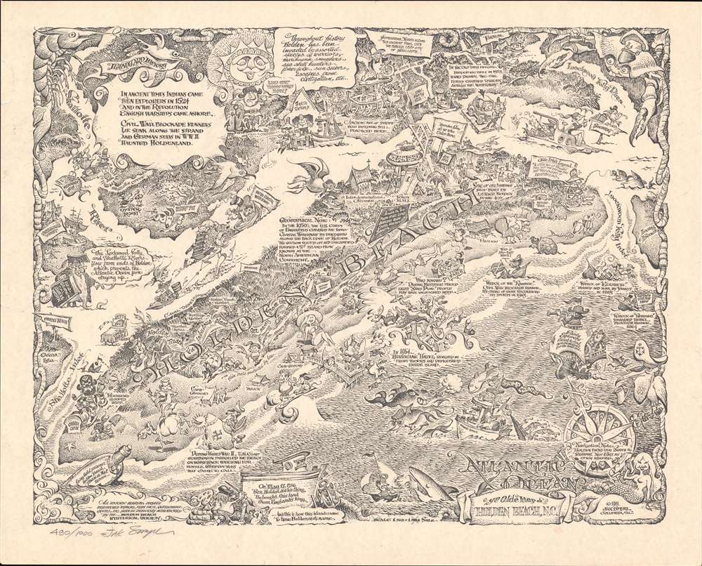
Limited Edition Holden Beach.
$500.00
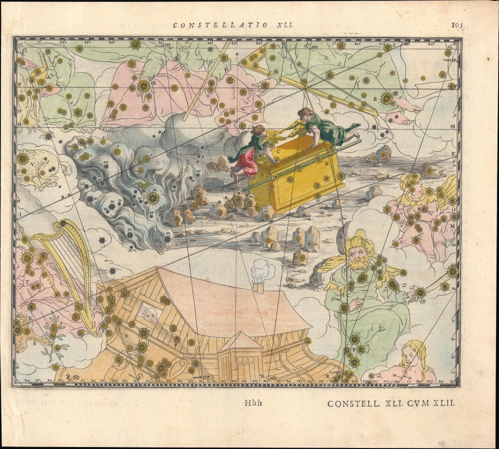
Christianizing Celestial Nomenclature.
$500.00
Tokyo's Foreign Quarter in the Early Meiji Period.
$4,500.00
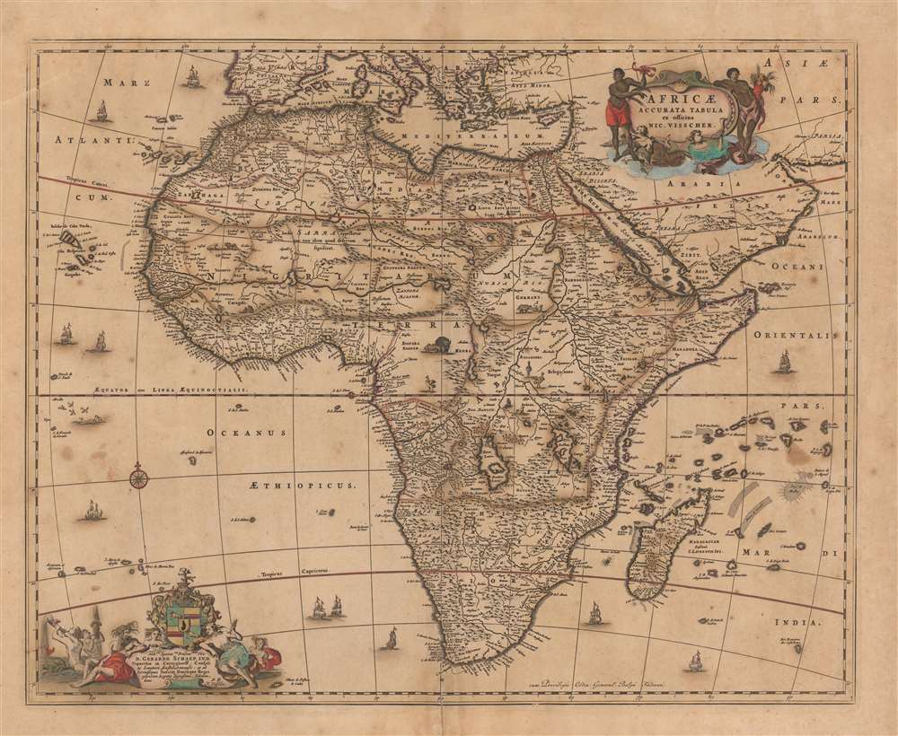
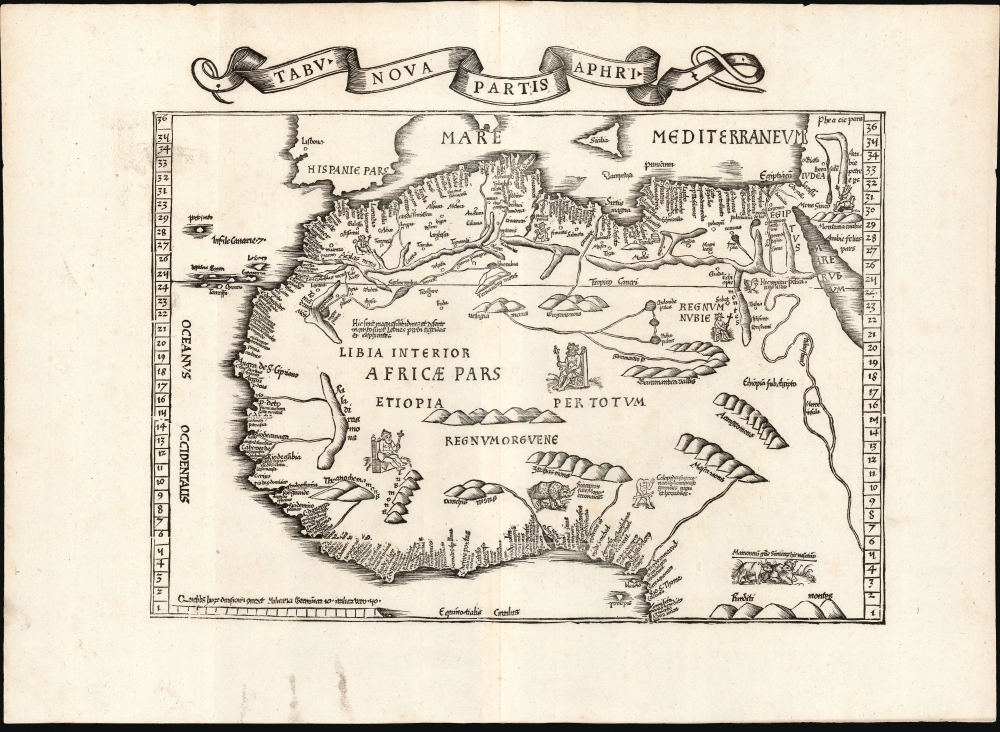
One of the Earliest Modern Maps of Africa.
$2,500.00
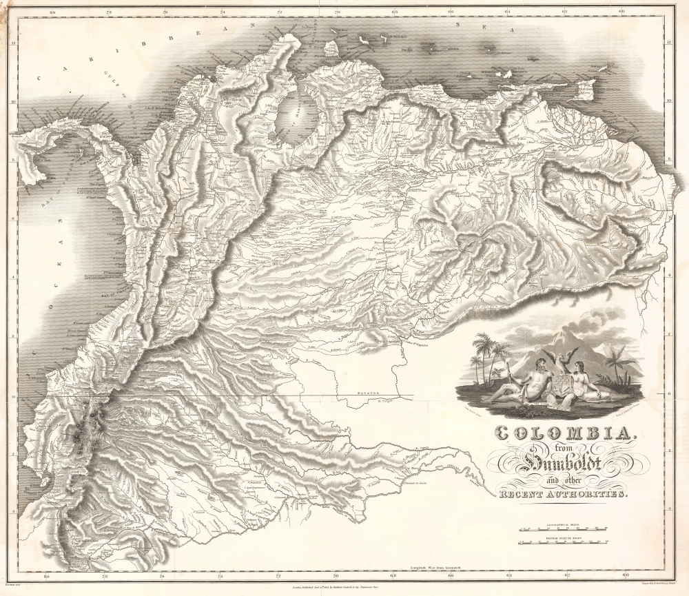
Promoting European investment in the dream of a unified independent Latin America.
$2,200.00
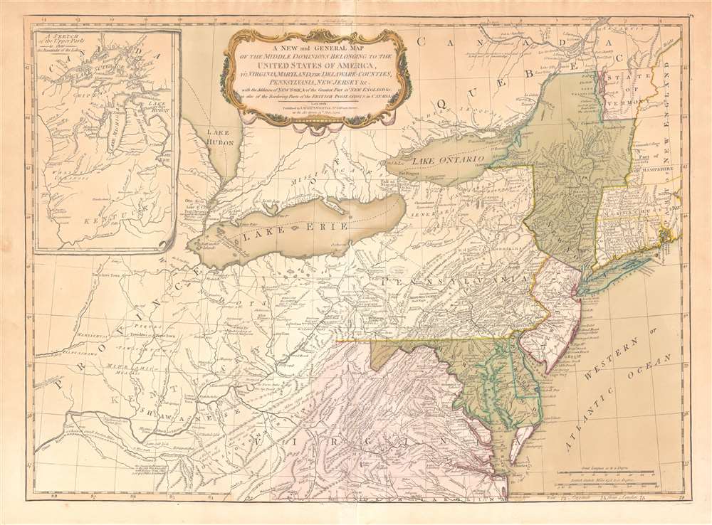
Best 18th century map of the Ohio River Valley.
$1,850.00
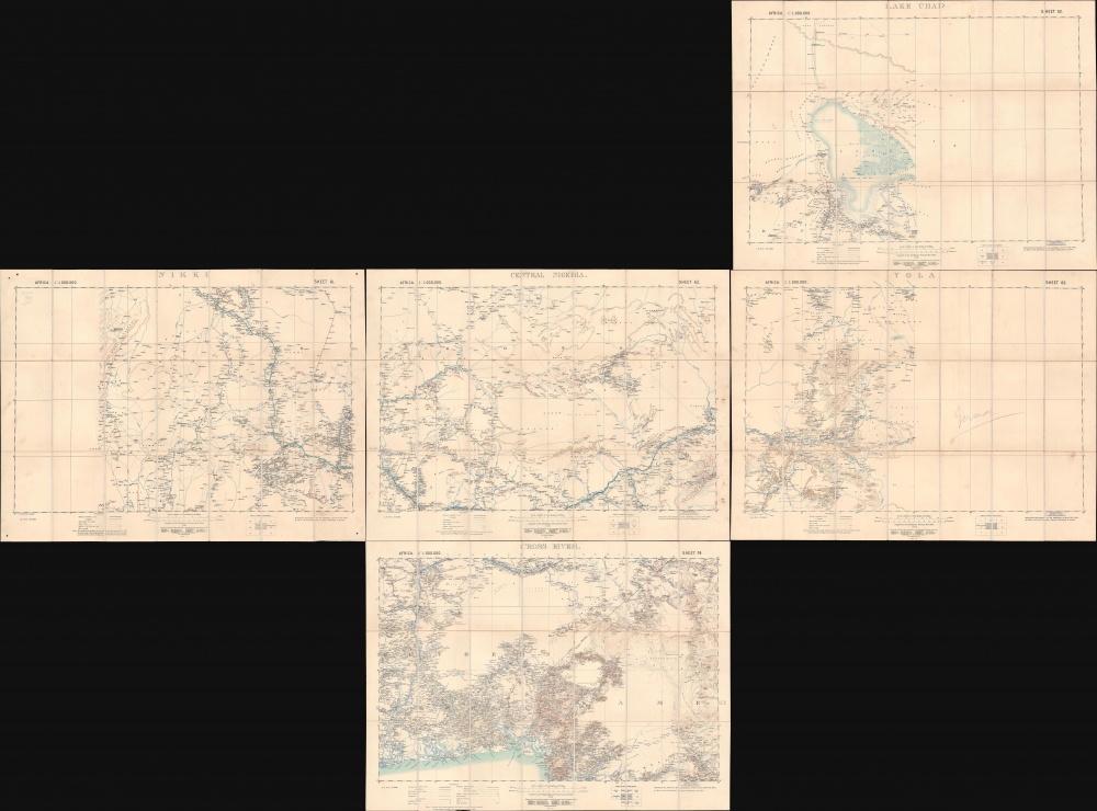
Settling the Borders of British Nigeria.
$1,500.00

