Most recently added antique and rare maps as of 7/12/2025.
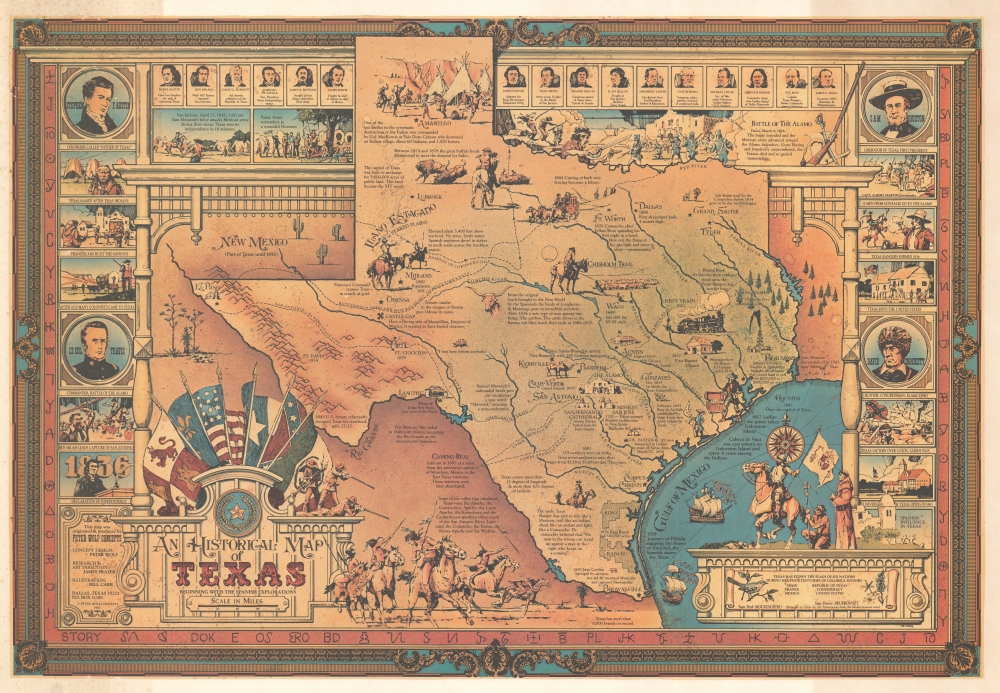
Unrecorded pictorial map of Texas by a legendary Broadway set designer.
$450.00
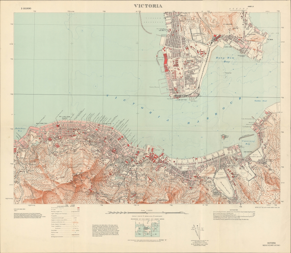
Hong Kong during World War II.
$3,500.00
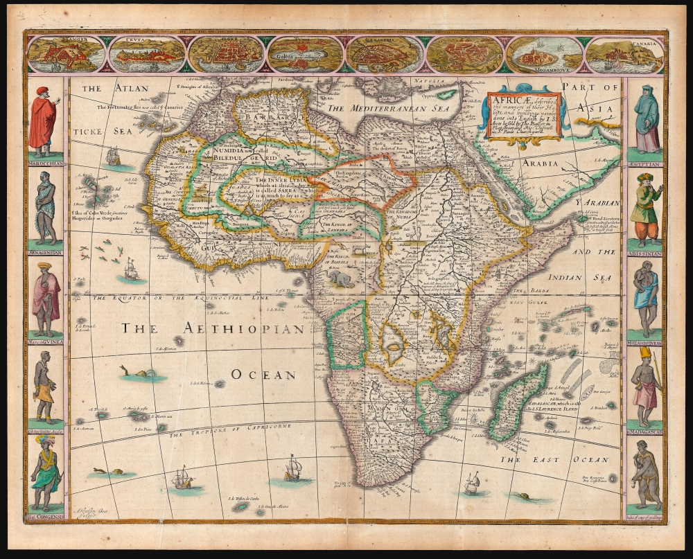
The Most Beautiful 17th Century English Map of Africa, in a beautiful old color example.
$3,500.00
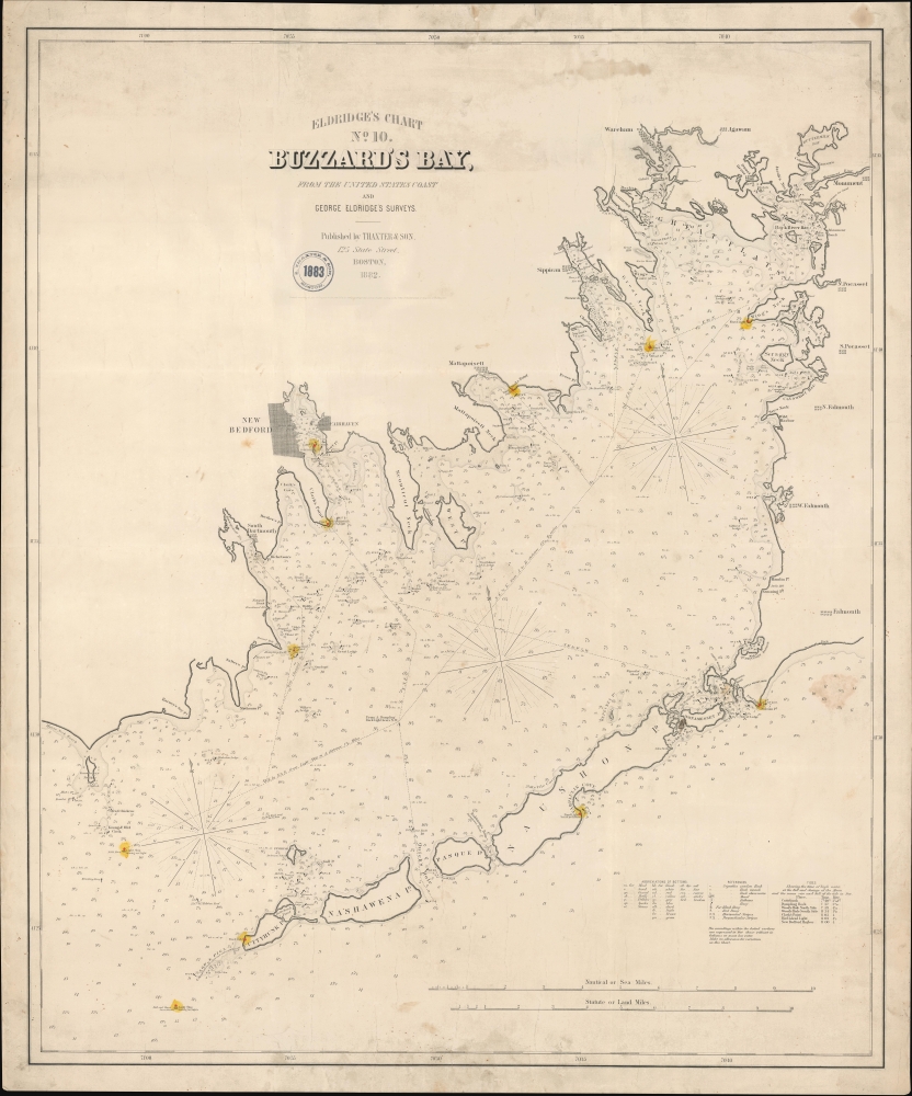
American Whaling Capital.
$1,950.00
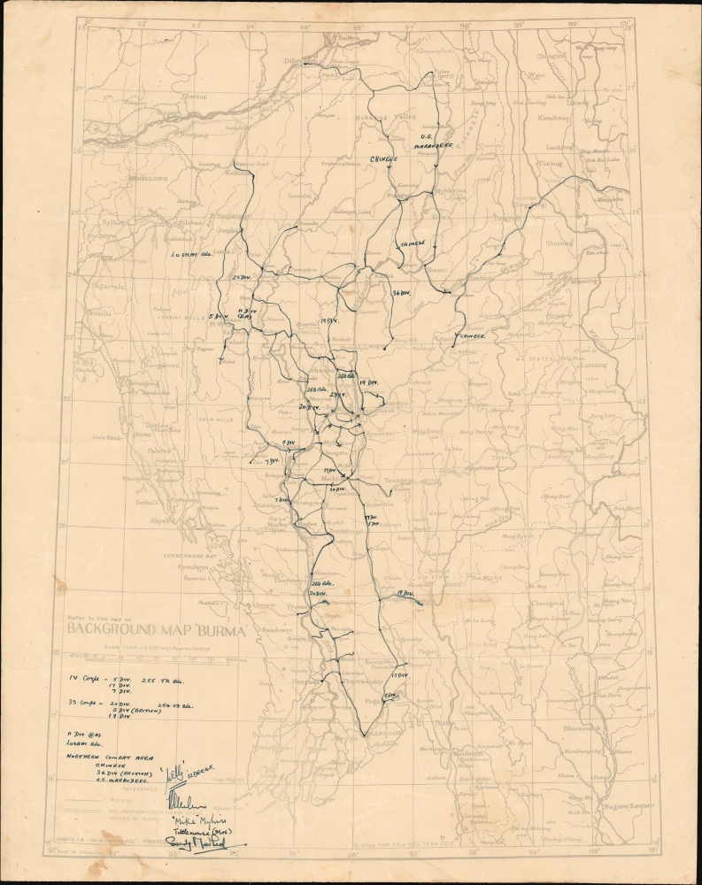
Manuscript campaign map is more detailed than any known printed map of the Burma campaign.
$1,800.00
Manuscript record of an incredible circumnavigation!
$1,100.00
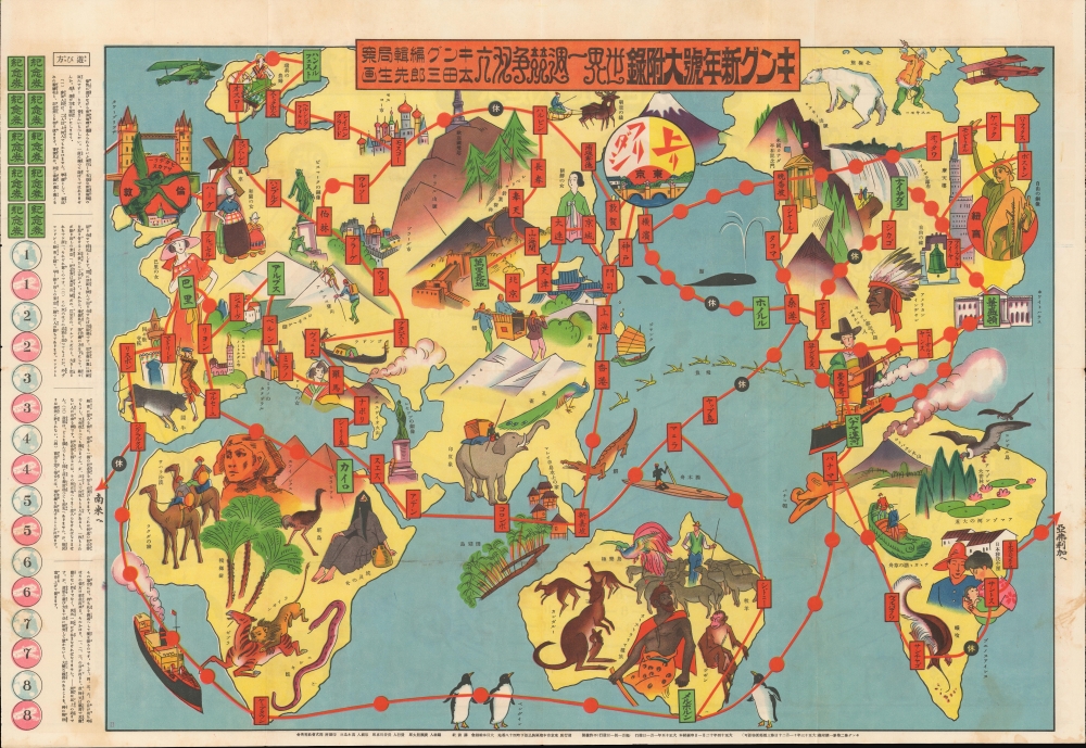
Japan's Pre-WWII self actualization as a world power.
$750.00
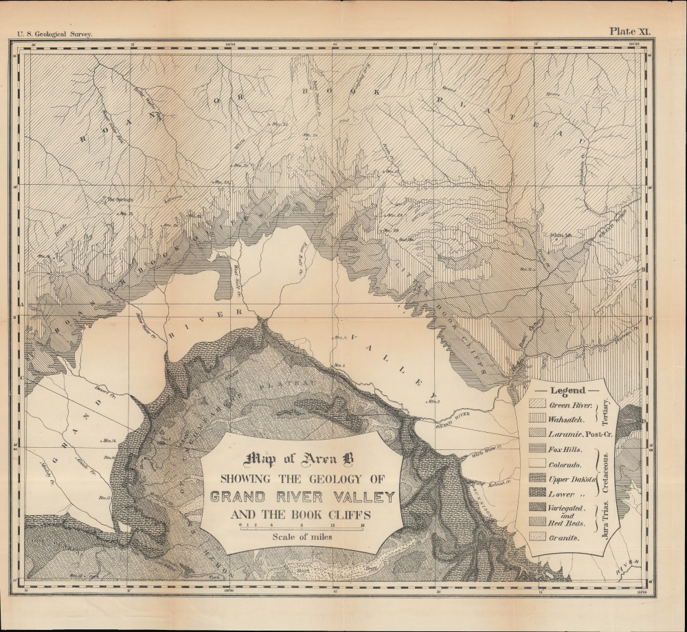
Early Survey of the Grand Valley,
$150.00
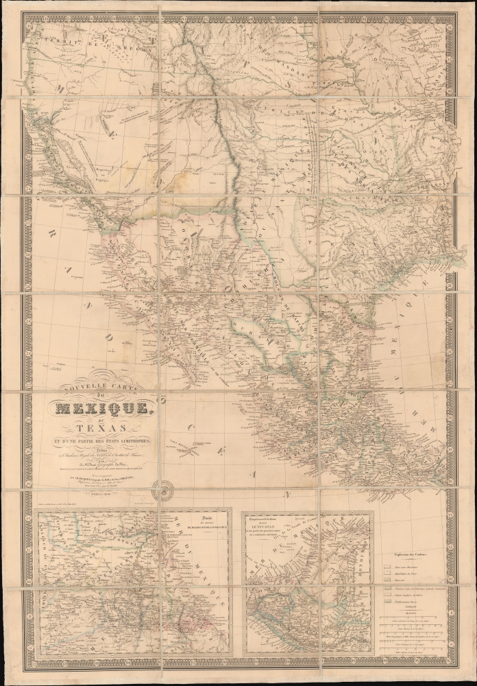
French recognition of the Republic of Texas.
$7,000.00
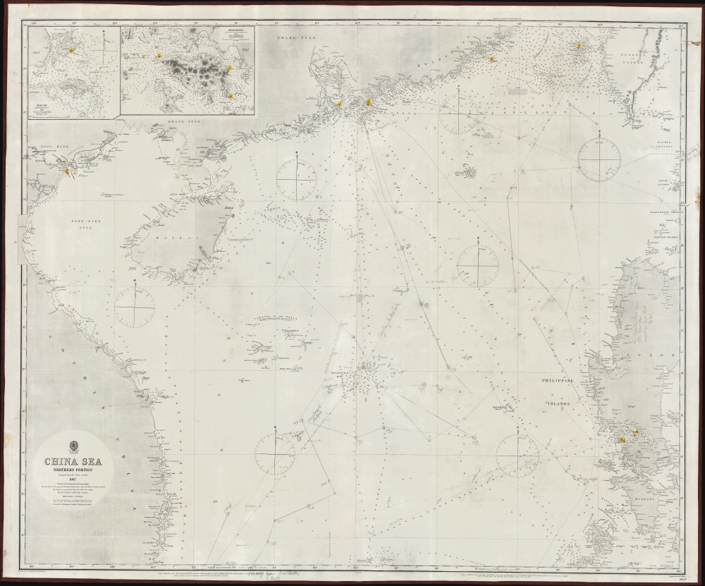
World's most disputed waters.
$2,700.00
Unrecorded last map of legendary pictorial mapmaker Blake Clark.
$2,250.00
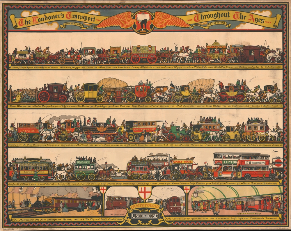
Golden Age of London Transport Posters.
$2,000.00
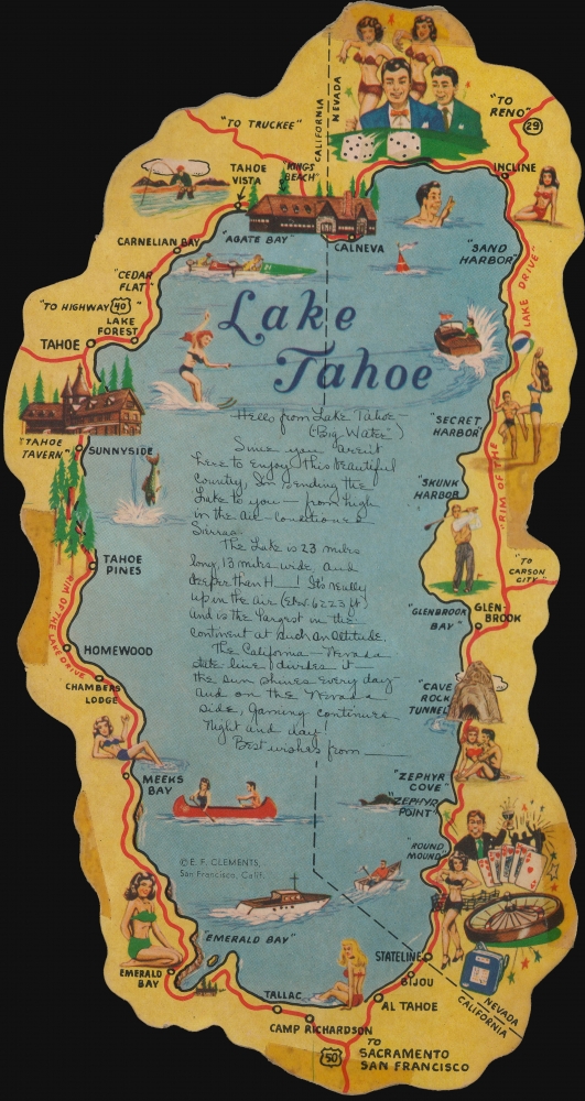
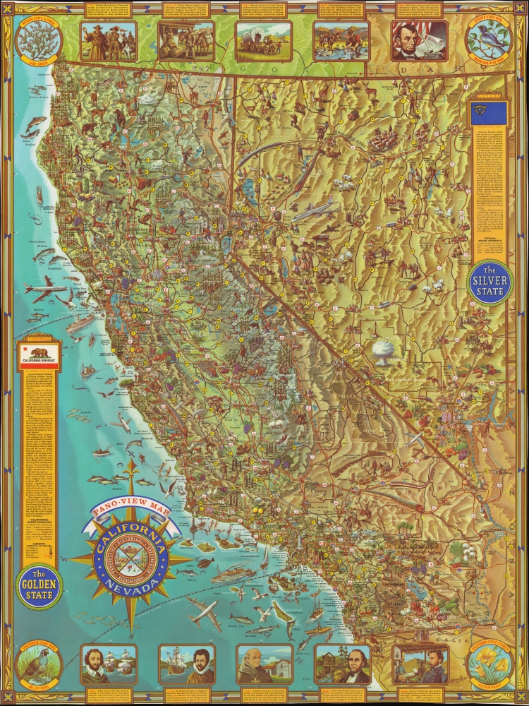
Mid-Century Pictorial Map of California and Nevada.
$1,000.00

