Most recently added antique and rare maps as of 11/20/2024.
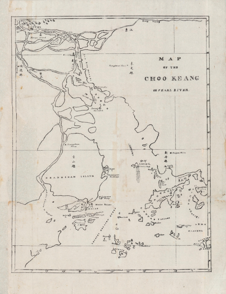
Early Map of the Pearl River Delta published in Canton.
$3,500.00
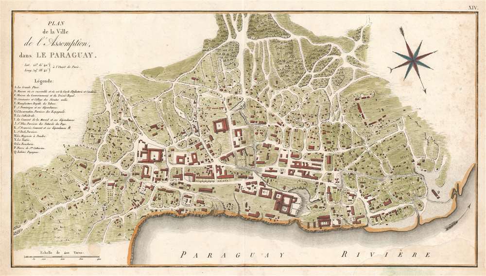
First printed plan of Asunción, Paraguay.
$1,500.00
Tracking English and French efforts to establish a Caribbean Foothold.
$1,500.00
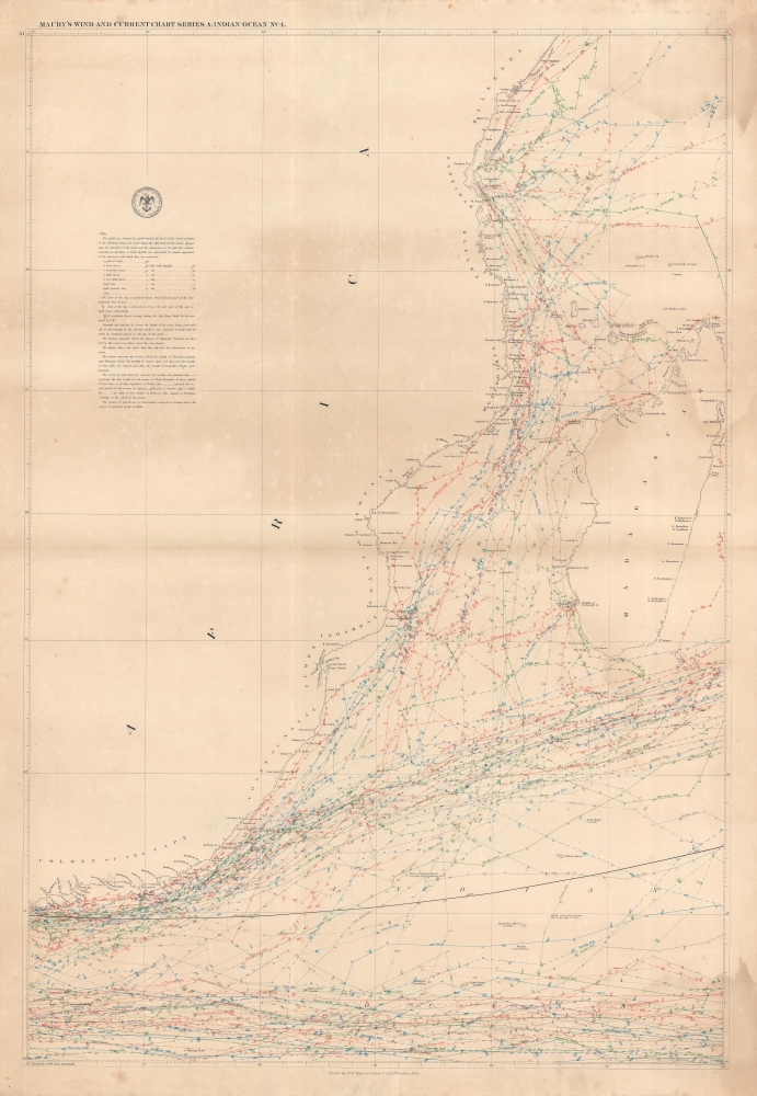
Groundbreaking infographic chart of the East African Coast / Western Indian Ocean.
$1,500.00
The looming threat of Communism.
$1,250.00
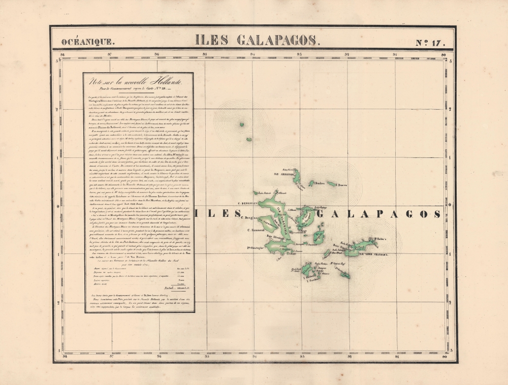
Earliest lithograph of the Galapagos Islands.
$700.00
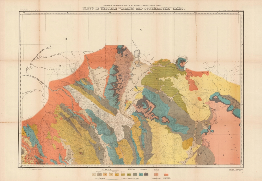
Grand map of Grand Teton.
$500.00
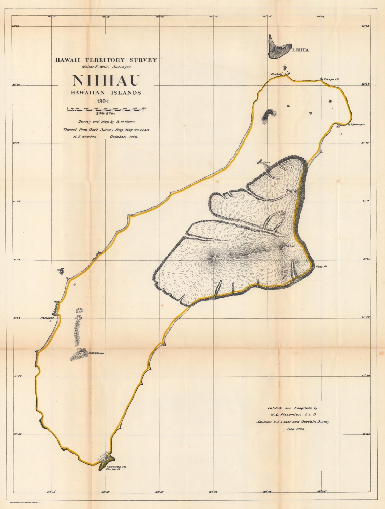
First map of Niihau from a scientific survey.
$350.00
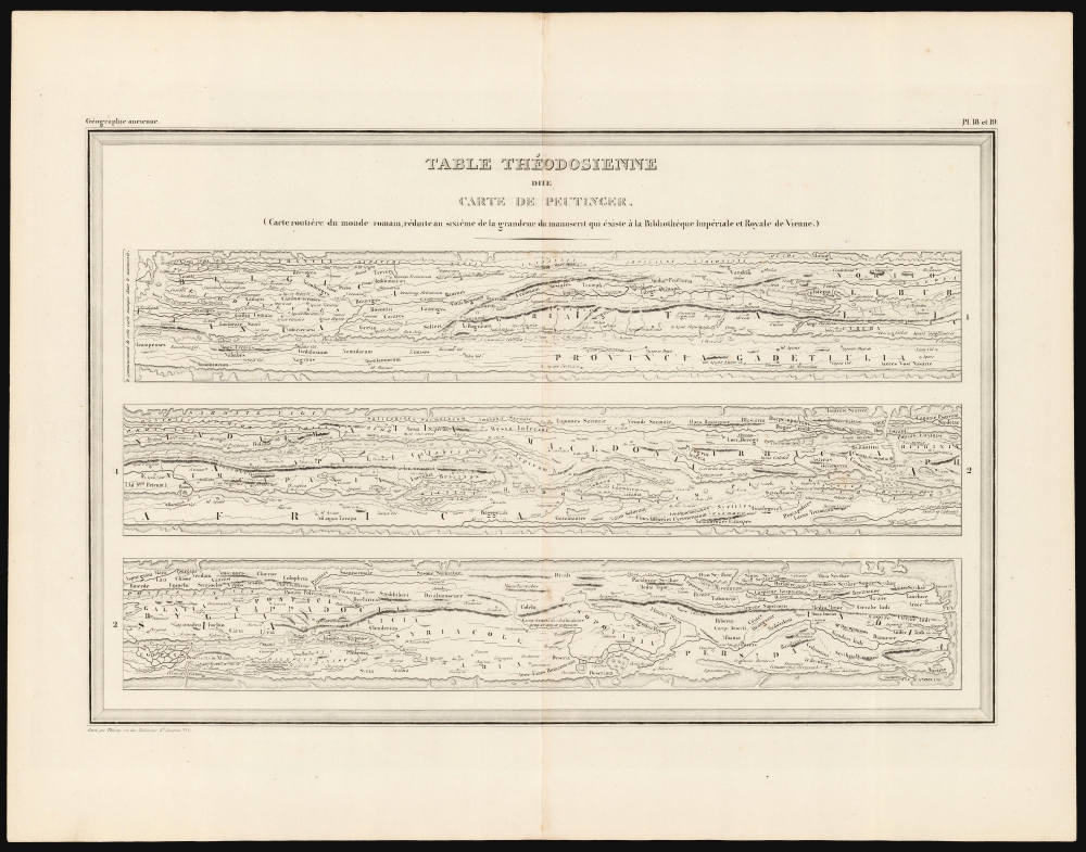
The Ancient Roman World.
$200.00
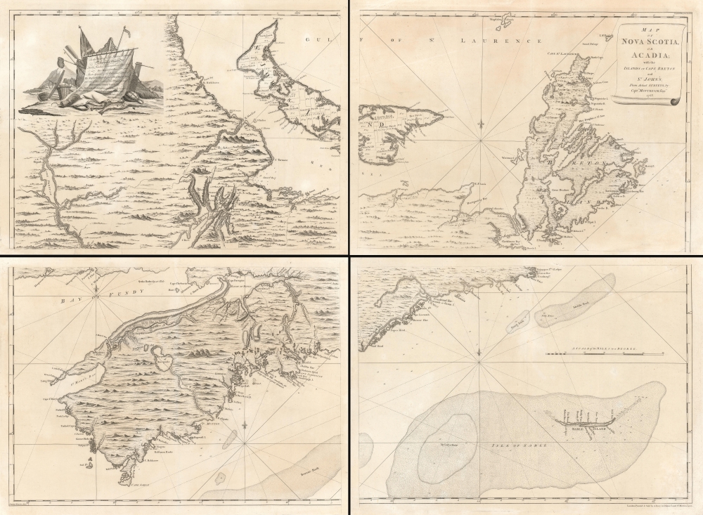
British Occupation of Acadia, in progress.
$16,000.00
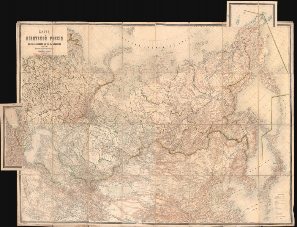
One of the most important maps of Siberia made in Tsarist times.
$5,500.00
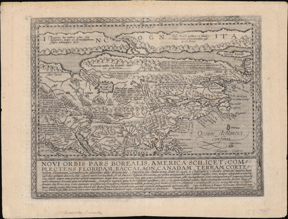
An important map of North America from the Great Age of Exploration; among the first to incorporate the cartography of John White and Jacques le Moyne.
$4,500.00
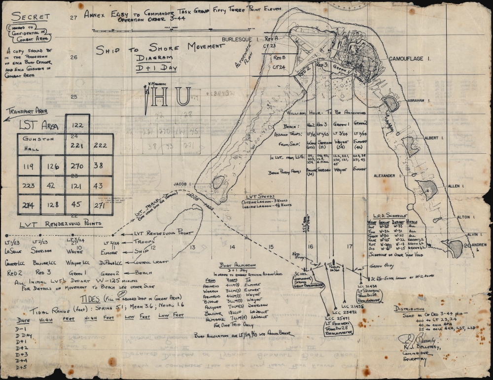
Possibly the first ship-to-shore diagram?
$3,000.00
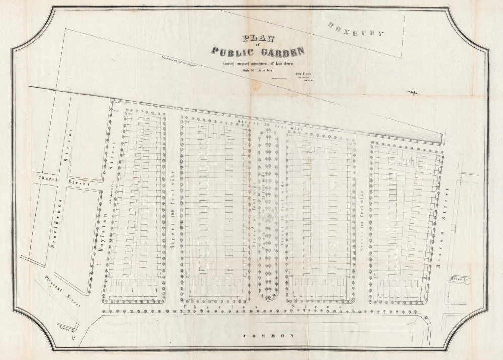
Make Way for... Parkland.
$2,500.00
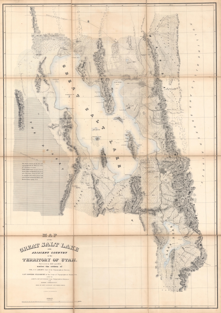
Surveying the Great Salt Lake.
$2,500.00

