Most recently added antique and rare maps as of 7/2/2025.
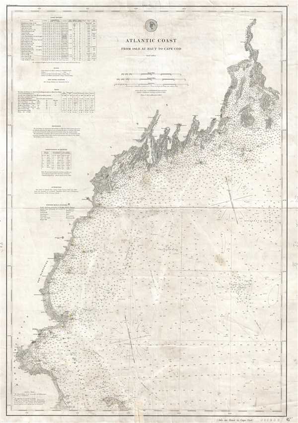
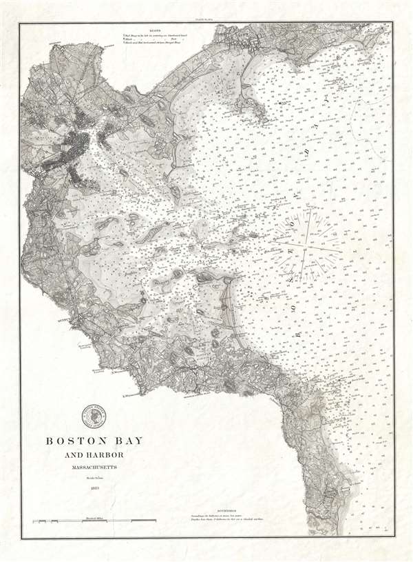
Meticulous chart of the Atlantic Coast from Maine to Massachusetts.
$600.00
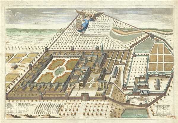
This monastery was destroyed during the French Revolution but is where Chartreuse Liquor was invented!
$500.00
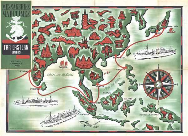
Incredible advertisement for post-war travel from France to the Far East.
$350.00
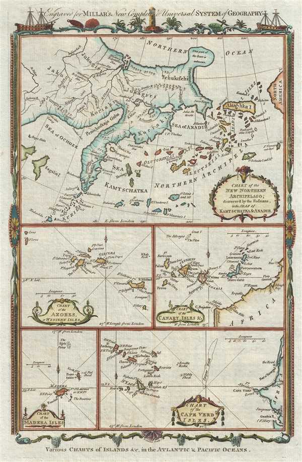
Fascinating Post-Bering Pre-Cook map of the North Atlantic showing Alaska as Island.
$250.00
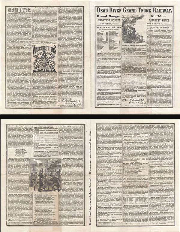
Hilarious temperance allegory and broadsheet promoting Walker's Vinegar Bitters.
$400.00
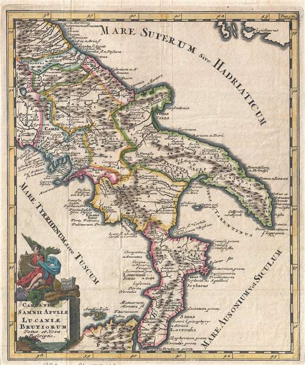
South Italy as it was known in ancient times!
$275.00
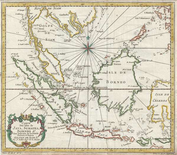
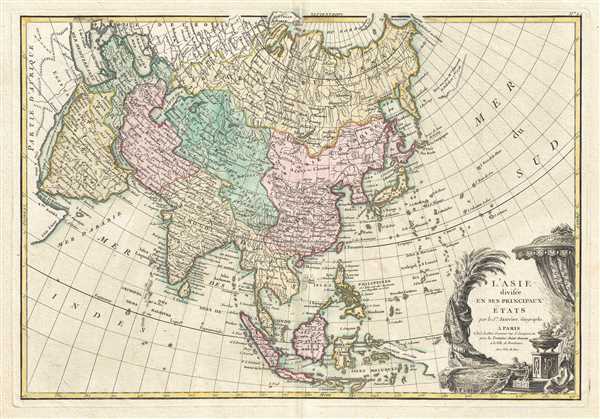
Beautiful map of the East Indies.
$275.00
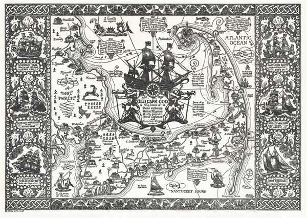
Includes historical notes and vignettes of sailing ships and sea monters!
$650.00
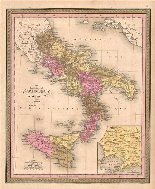
Incredible inset map of Naples!
$150.00
Visually represents the extent of survey work completed by the U.S. Coast and Geodetic Survey along the U.S. coastline.
$200.00
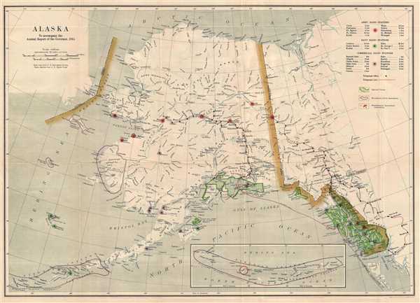
Depicts the location of communication technologies in Alaska - including radio stations and telegraph lines!
$250.00
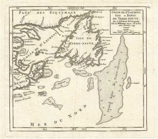
Depicts both Newfoundland and Cape Breton Island!
$175.00
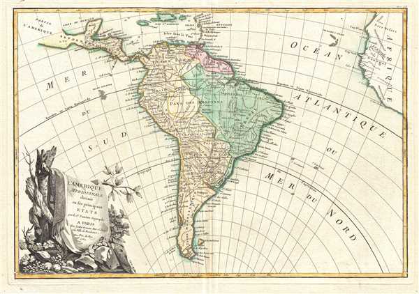
Depicts the fictional Laguna de Xarayes - the entrance to El Dorado!
$200.00
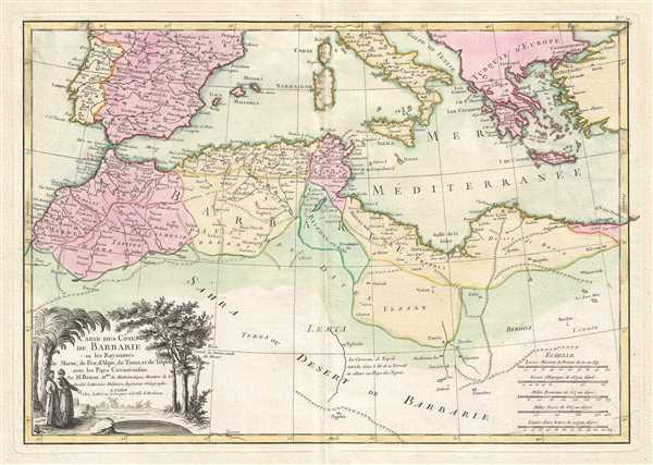
A hotbed of piracy in the 18th century!
$225.00
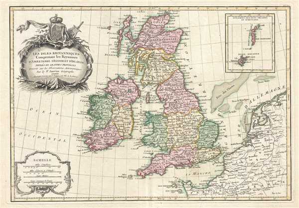
Depicts the Isle of Man and has inset map of the Orkney and Shetland Islands!
$250.00
Shows individual buildings throughout the Boston area!
$550.00
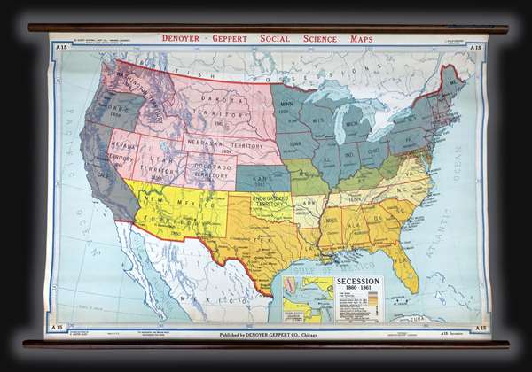
Detailed delineation of how the states and territories were aligned at the beginning of the American Civil War.
$300.00

