Most recently added antique and rare maps as of 12/25/2024.
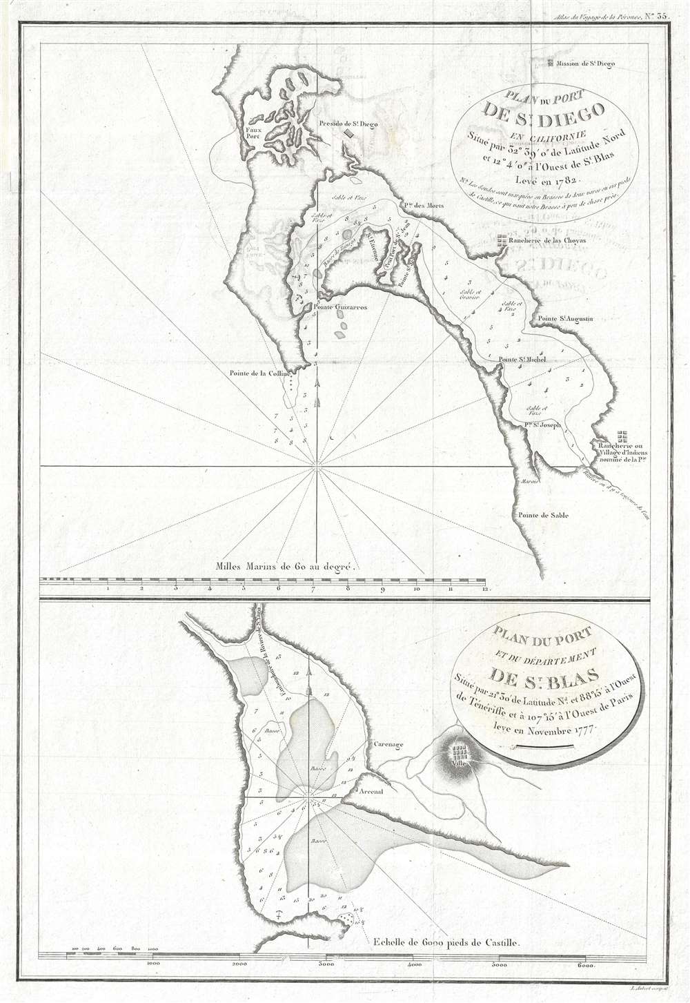
1797 La Perouse Map of San Diego Bay (earliest obtainable map of San Diego)
The earliest obtainable map of San Diego Bay.
$650.00

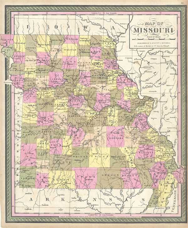
1849 Mitchell Map of Missouri
Uncommon early Mitchell map of Missouri.
$225.00

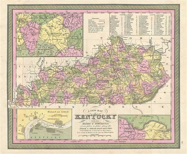
1849 Mitchell Map of Kentucky
Mitchell's early map of Kentucky featuring large insets.
$225.00

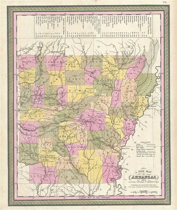
1849 Mitchell Map of Arkansas
Mitchell's depiction of the state of Arkansas.
$250.00

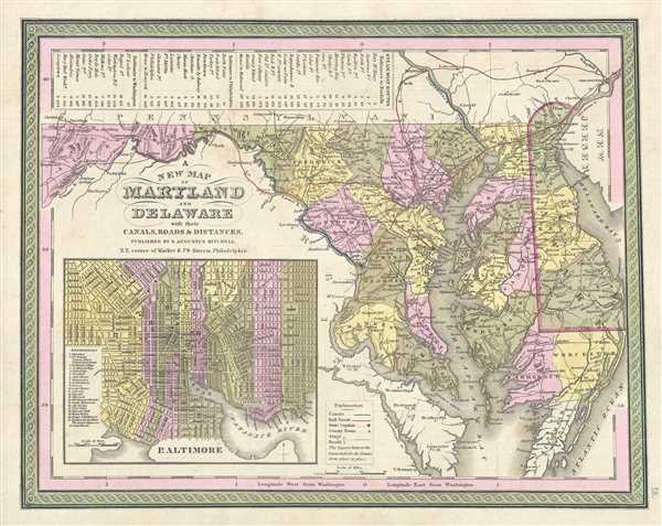
1849 Mitchell Map of Maryland and Delaware
Mid 19th century map depicting Maryland and Delaware.
$250.00

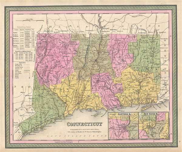
1849 Mitchell Map of Connecticut
Mid 19th century map of Connecticut.
$250.00

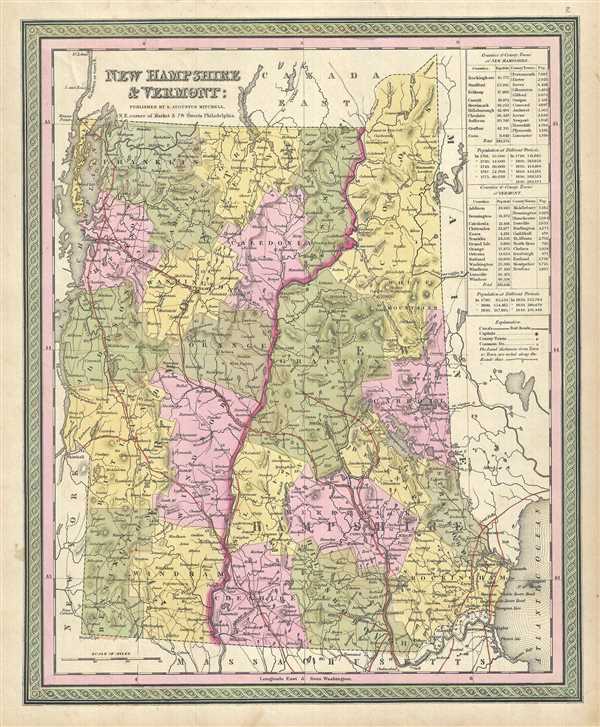
1849 Mitchell Map of New Hampshire and Vermont
Early map of New Hampshire and Vermont.
$150.00

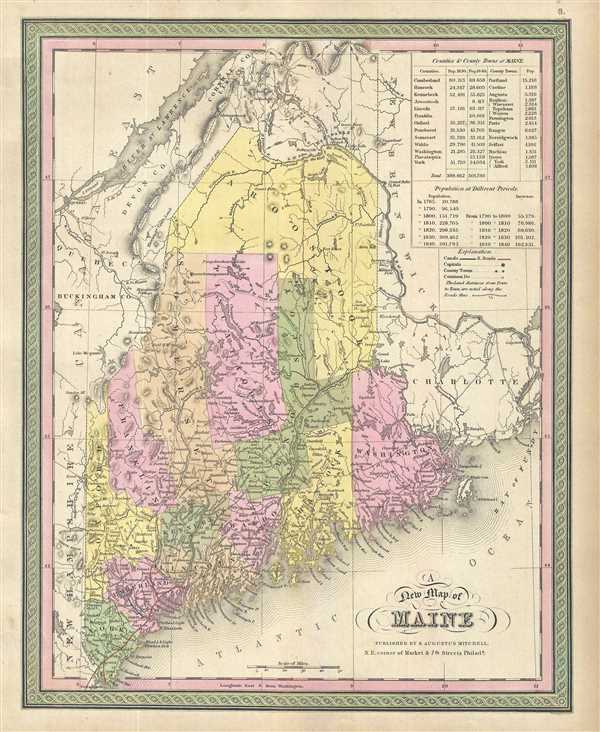
1849 Mitchell Map of Maine
Show disputed northern boundary of Maine.
$150.00

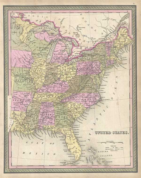
1849 Mitchell Map of the United States
Mitchell's map of the United States during a period of westward expansion.
$450.00

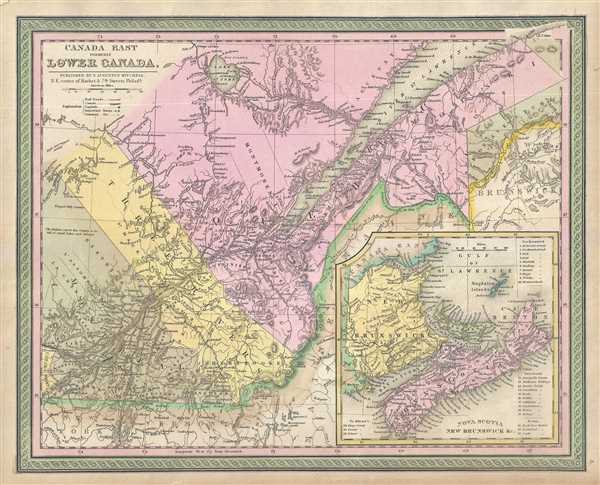
1849 Mitchell Map of Quebec, Lower Canada or Canada East
Beautiful map of Quebec, Canada.
$150.00

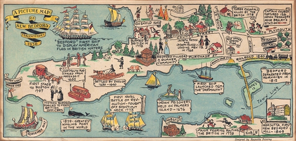
1930 Reynolds Pictorial Map of New Bedford, Massachusetts
Delightful whimsical map of New Bedford.
$225.00

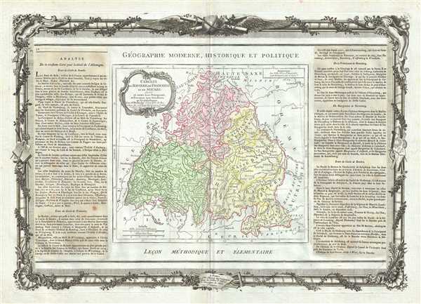
1786 Desnos and de la Tour Map of Bavaria, Franconia and Swabia, Germany
18th century map depicting the Imperial Circles of the Holy Roman Empire.
$250.00

1786 Desnos and de la Tour Map of Austria
Beautiful map depicting the Holy Roman Empire's Circle of Austria.
$300.00

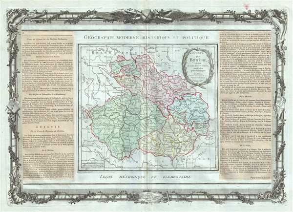
1786 Desnos and de la Tour Map of Bohemia or Czech Republic
Striking map of the Czech Republic.
$250.00

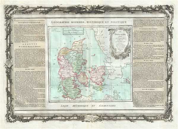
1786 Desnos and de la Tour Map of Denmark
Late 18th century map of Denmark.
$275.00

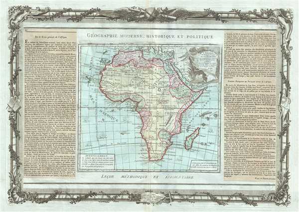
1790 Desnos Map of Africa
Specuative mapping of Africa.
$350.00

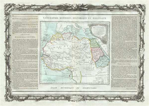
1786 Desnos and de la Tour Map of Egypt, West Africa and the Barbary Coast
Decorative map of the northern part of the African continent.
$300.00
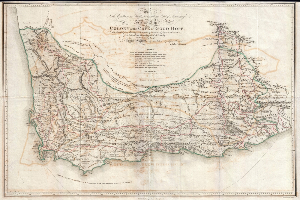
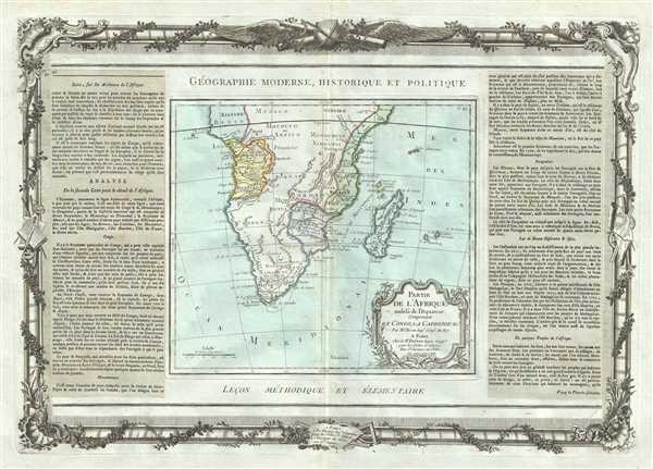
1786 Desnos and de la Tour Map of Southern Africa and Madagascar
Uncommon early mapping of the southern parts of the African continent.
$300.00