Most recently added antique and rare maps as of 12/24/2024.
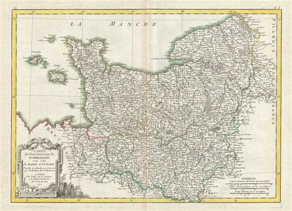
1771 Bonne Map of Normandy, France
Beautiful 18th century map of France.
$200.00

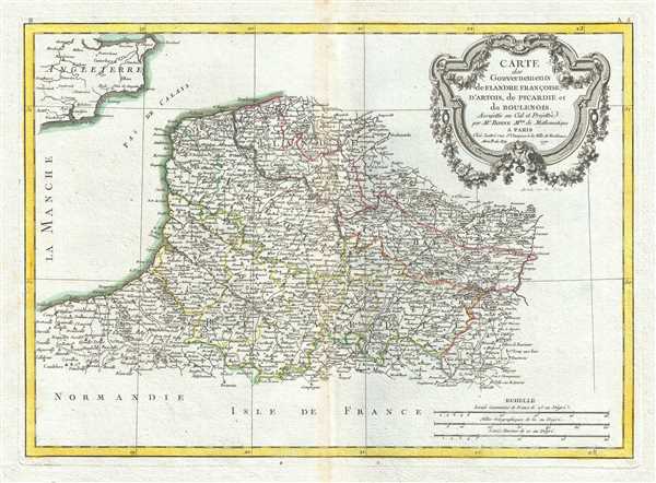
1771 Bonne Map of Picardy, Artois and French Flanders, France
Decorative map of the French cheese producing region of Picardy and vicinity.
$175.00

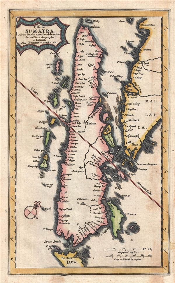
1727 Van der Aa Map of Sumatra, Singapore, and Malaya
Rare Singapore Map! Only 100 known to have been printed.
$650.00

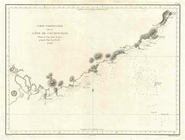
1830 Depot de la Marine Nautical Map or Chart of Vietnam Coast Depicting Saigon
Early French nautical chart of the southeast coast of Vietnam including Saigon.
$500.00

1712 Wells Map of Germany
Attractive map of Germany.
$350.00

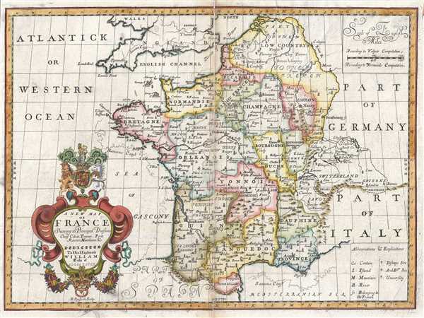
1712 Wells Map of France
A decorative map of France from the early 18th century.
$225.00

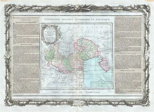
1786 Desnos and de la Tour Map of Northeastern Italy
Early map of northeast Italy during the decline of the Republic of Venice.
$350.00

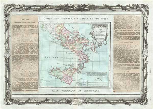
1786 Desnos and de la Tour Map of Southern Italy (Naples and Sicily)
Early map of southern Italy depicting the Kingdom of Naples and Sicily.
$350.00

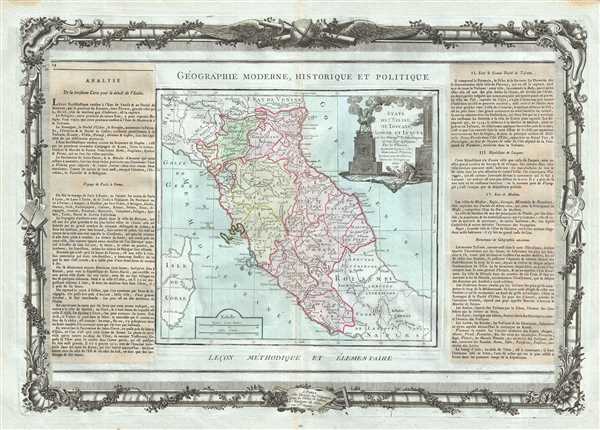
1786 Desnos and de la Tour Map of Central Italy
Beautiful early map of Tuscany and the Papal States.
$350.00

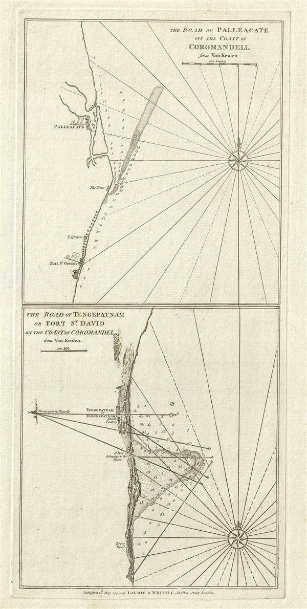
1794 Laurie and Whittle Nautical Chart or Map of the Coast of Coromandel, India
Beautiful maritime map of the eastern coast of India.
$200.00

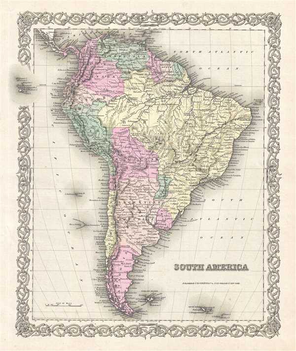
1856 Colton Map of South America
Colton's depiction of the entire continent of South America.
$125.00

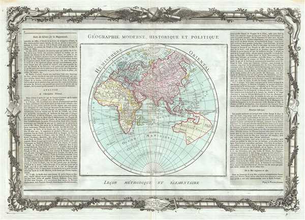
1786 Desnos and de la Tour Map of the Eastern Hemisphere
Beautiful map of the eastern hemisphere with Australia joined with New Guinea.
$600.00

1786 Desnos and de la Tour Map of Italy
Map depicting Italy before its unification.
$350.00

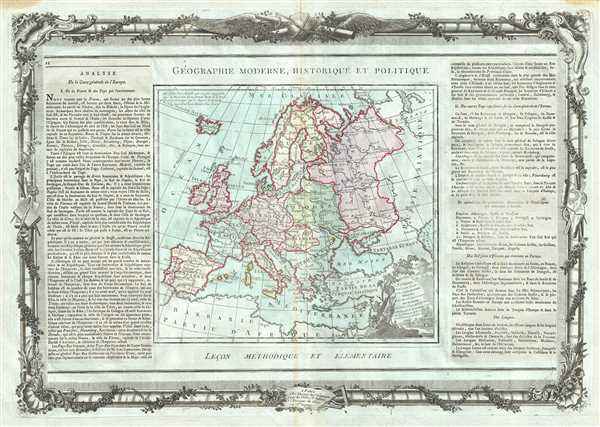
1786 Desnos and de la Tour Map of Europe
Beautiful 18th century map of Europe.
$350.00

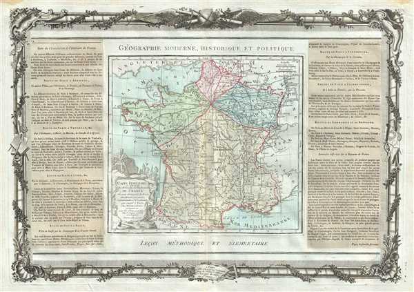
1786 Desnos and de la Tour Map of France showing Roads and Provinces
Road map of France showing provinces before Napoleon.
$300.00

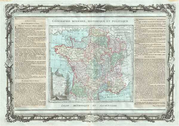
1786 Desnos and de la Tour Map of France Divided by Provinces
Map of France divided into its 40 provinces.
$300.00

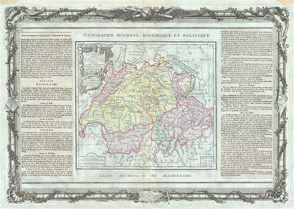
1786 Desnos and de la Tour Map of Switzerland
Mid 18th century map showing Switzerland divided into cantons.
$250.00

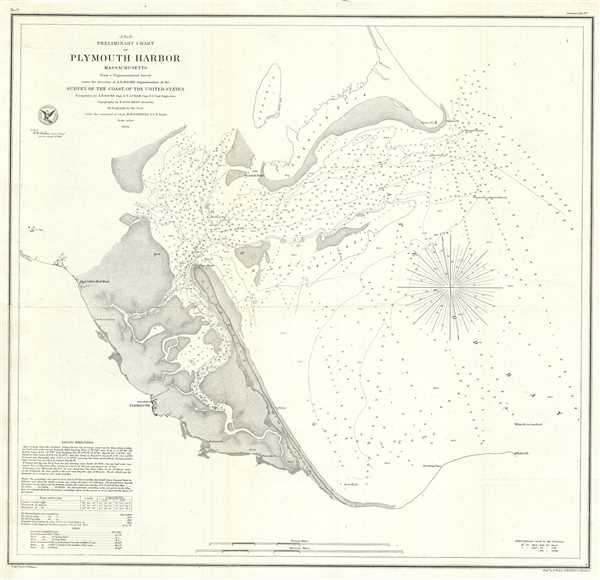
1854 U.S. Coast Survey Chart or Map of Plymouth Harbor, Massachusetts
Beautiful nautical chart of Plymouth Harbor, Massachusetts.
$600.00

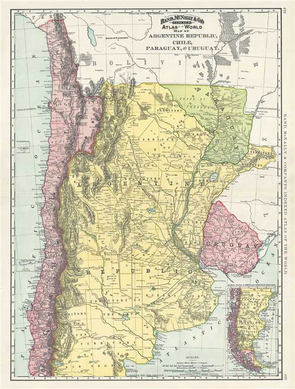
1892 Rand McNally Map of Argentina, Chile, Paraguay and Uruguay
Attractive map of Argentina, Chile, Paraguay and Uruguay.
$75.00

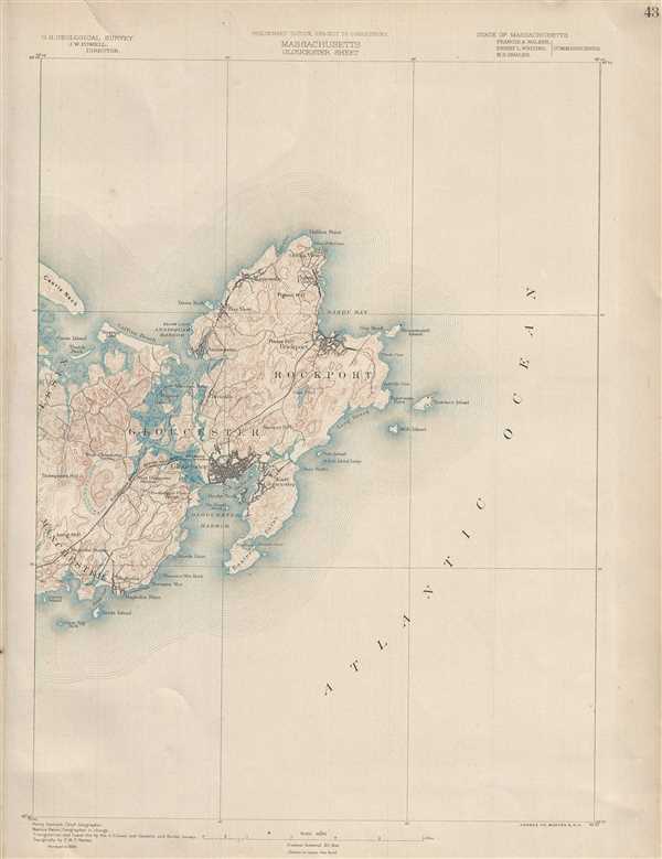
1890 U. S. Geological Survey Map of Gloucester and Rockport, Massachusetts
Beautiful geological map of Cape Ann and Rockport, Massachusetts.
$150.00