Most recently added antique and rare maps as of 11/15/2024.
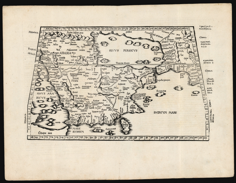
Foundation of the mapping of Arabia.
$2,750.00
Electrifying Manhattan.
$3,500.00
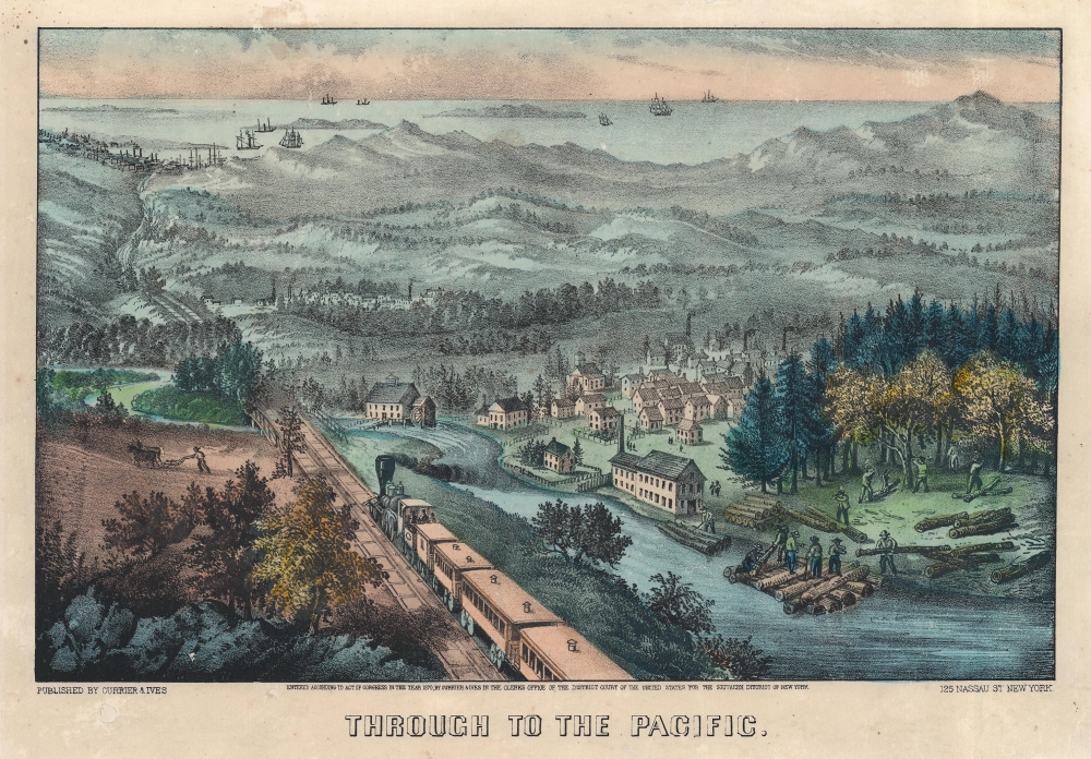
First sight of the Pacific on the Central Pacific.
$1,900.00
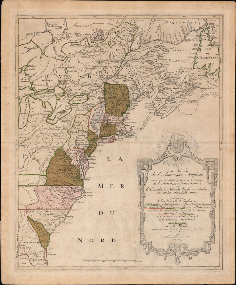
The American Colonies on the Brink of Revolution.
$1,700.00
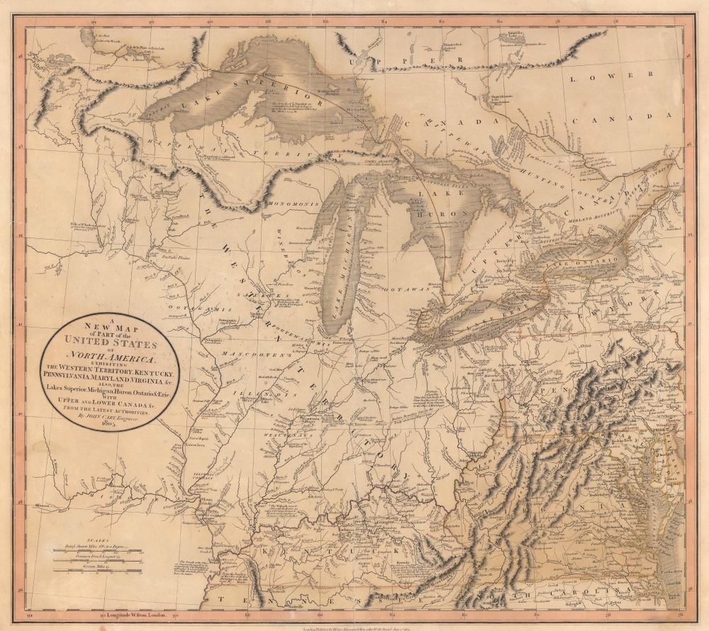
Benchmark Map of the Northwest Territory.
$1,200.00
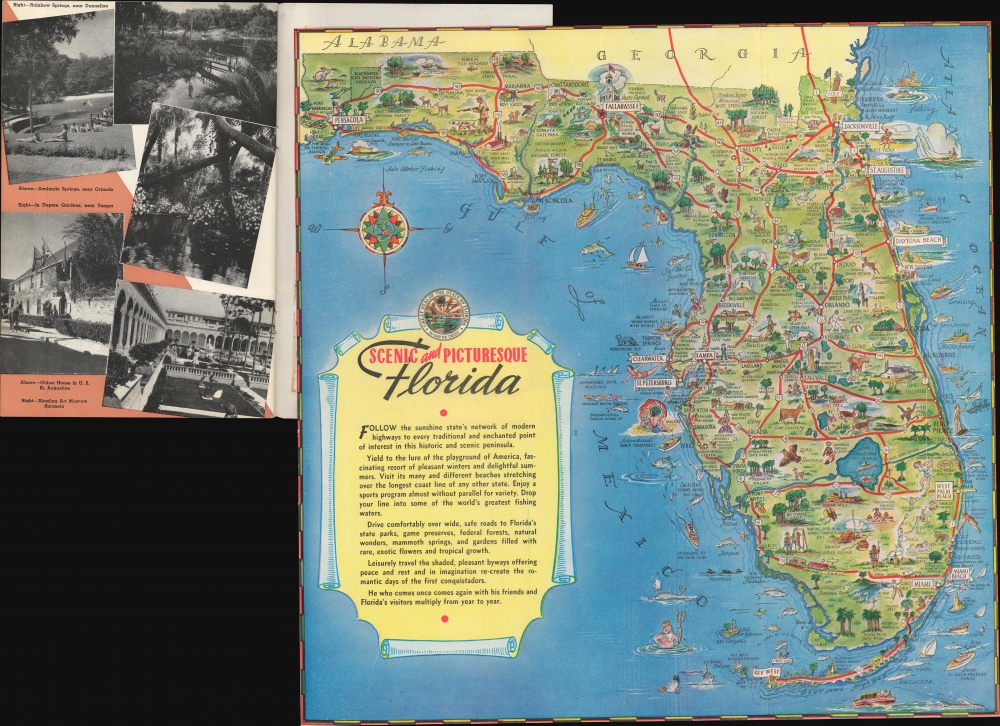
Immigration to Floria after WWII.
$500.00
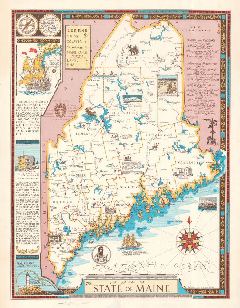
Pictorial map of Maine by a Northeast Harbor local.
$500.00
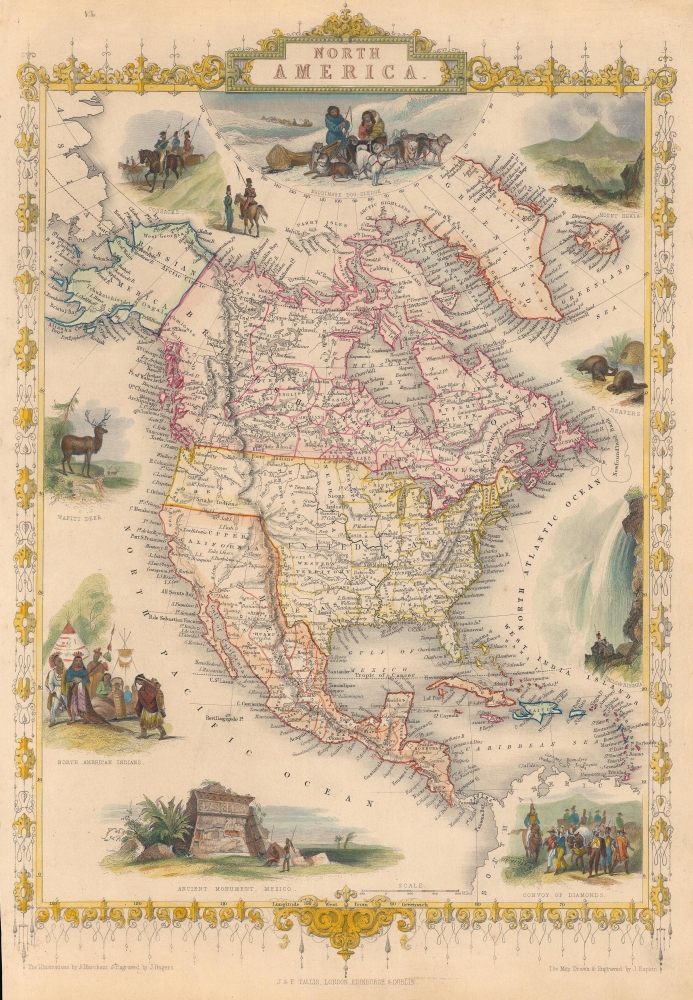
Disapproval for American Expansionism after the Mexican American War.
$400.00
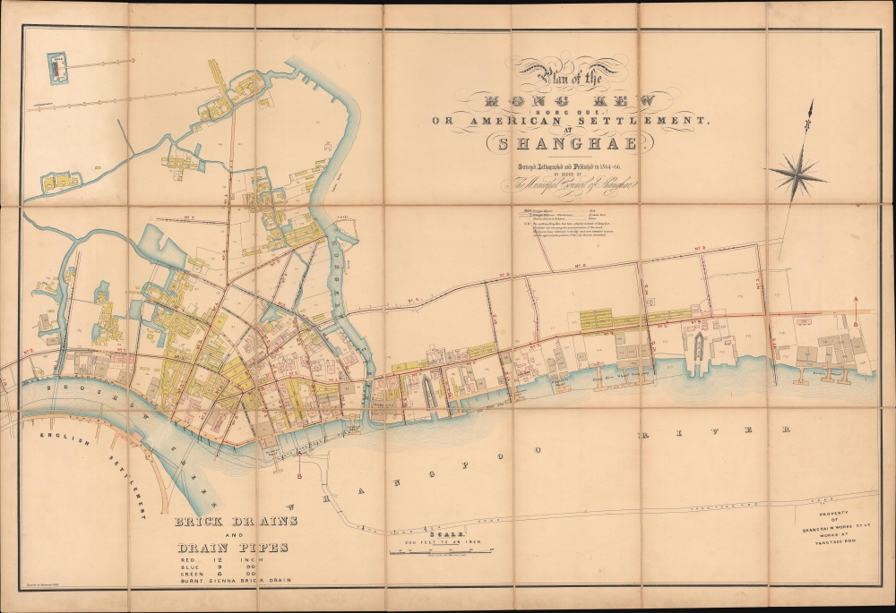
First map of the American Concession in Shanghai?
$19,000.00
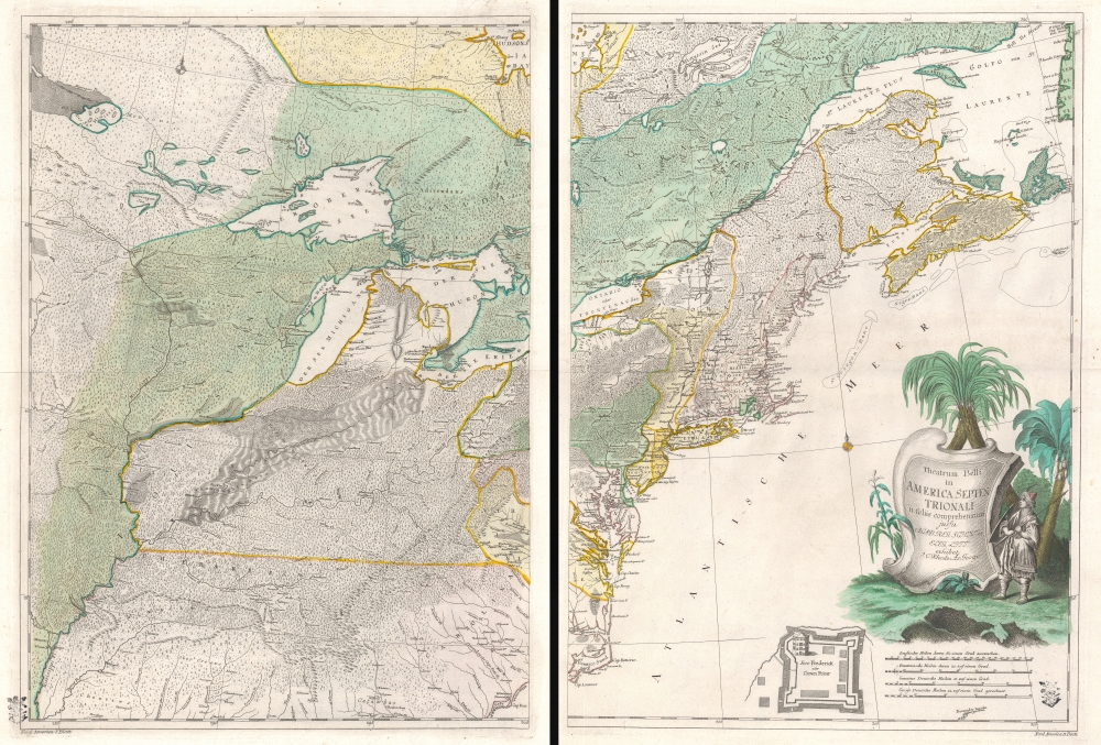
Best neutral-perspective map of the French and Indian War.
$14,000.00
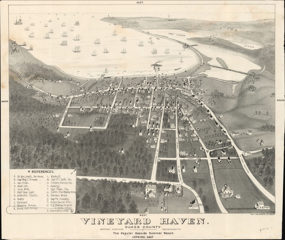
Transitioning from a whale town to a resort town.
$5,500.00
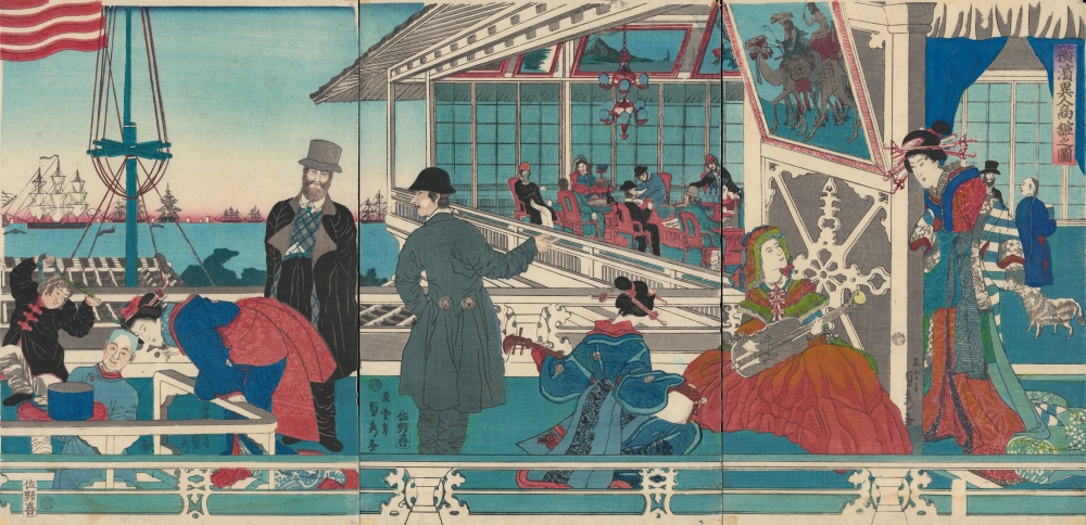
American - Chinese - Japanese exchange in Yokohama.
$3,500.00
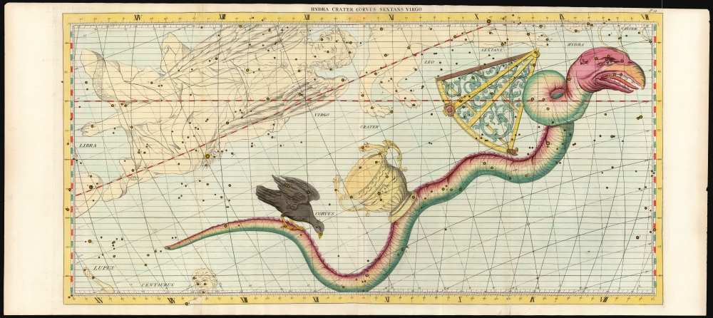
From the most important celestial atlas of the 18th Century.
$3,500.00
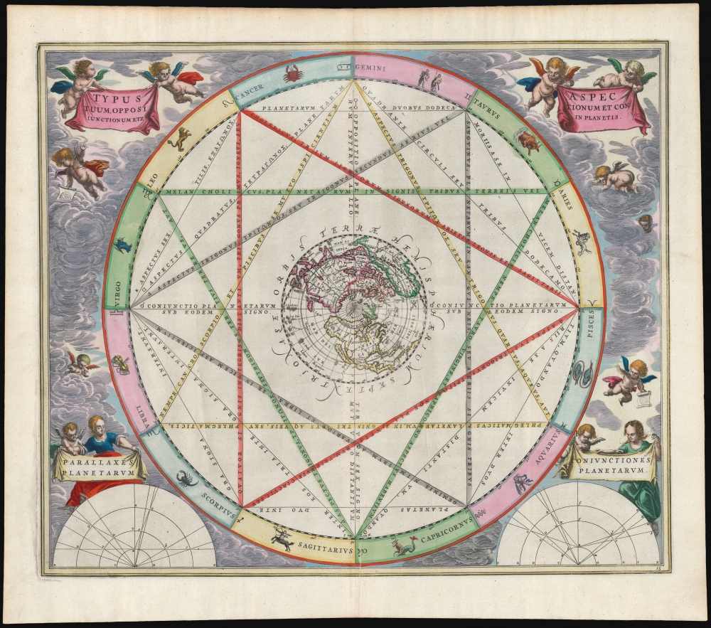
The wheel of the Zodiac in a beautiful example.
$3,000.00
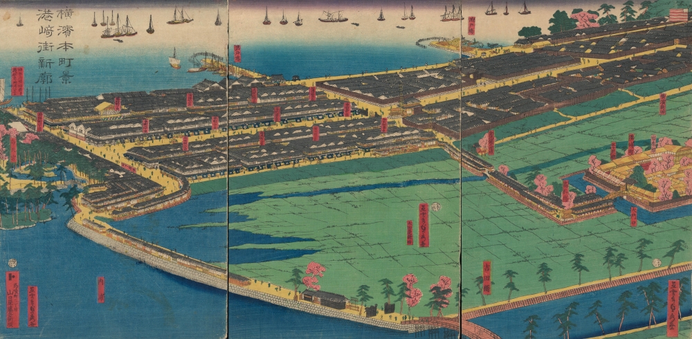
An Early View of Yokohama's Red-Light District.
$3,000.00
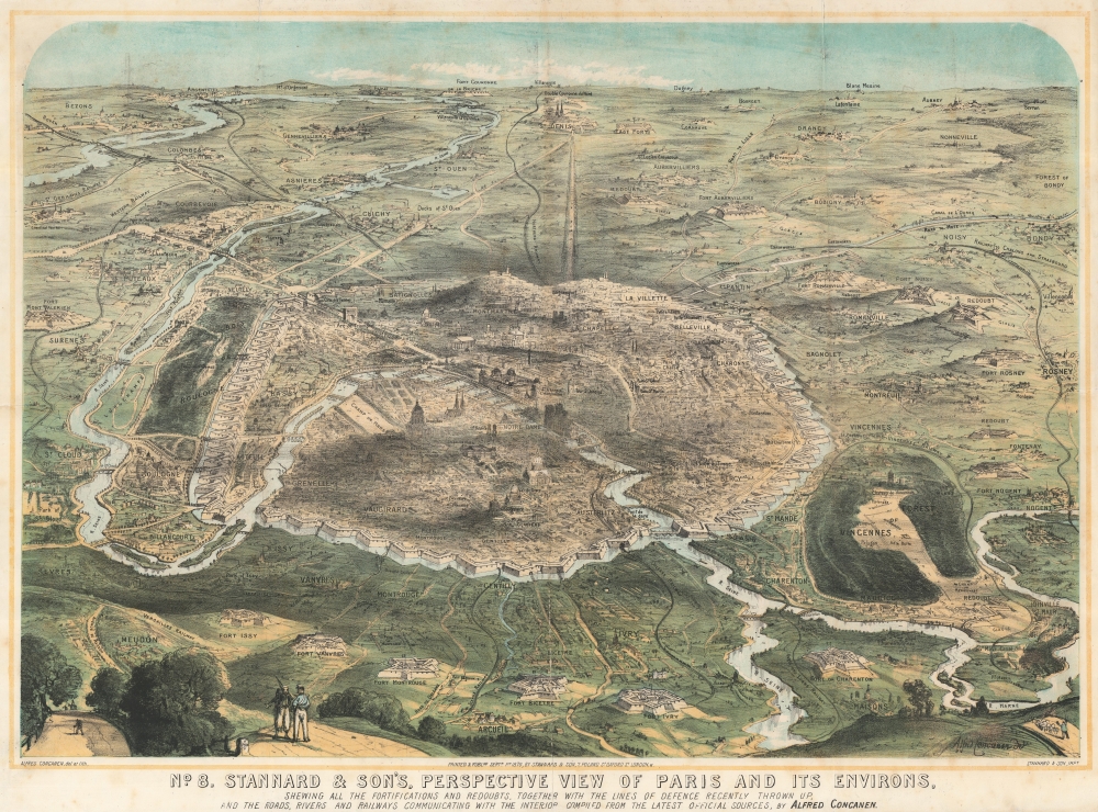
18 Days before the Siege of Paris.
$3,000.00

