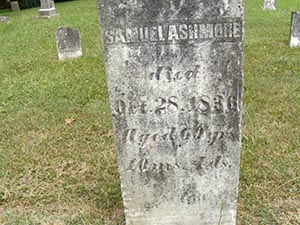
Samuel Ashmore (August 5, 1787 - March 31, 1858) was an Irish mercantile captain active in Australia, Southeast Asia, and the East Indies in the early part of the 19th century. Ashmore was born in Dublin, Ireland and immigrated to Sydney, Australia in his early 20s. He was among the first Europeans to map a practical route through the dangerous Torres Straits between Australia and New Guinea. In 1810 and 1811, as Captain of the brig Hibernia traveling between Fiji and India, he discovered and named the Ashmore Islands and the Hibernia Reef, located between Australia and Indonesia. He was a friend and associate of the extremely important hydrographer James Horsburgh, many of whose influential nautical maps are based on manuscript work prepared en voyage by Ashmore, especially those focusing on Java, Sumatra, and the former Dutch East Indies (Indonesia). His name is scattered throughout Horsburgh's seminal India Directory. In Sydney's Nautical Magazine Captian Ashmore is described as
an indefatigable and accurate observer of all which pertained to his profession, [who] omitted no opportunity of making new discoveries in unknown or little frequented localities, or of correctly ascertaining and establishing the position of dangers previously doubtful…After retiring from the sea, Ashmore worked in and around Sydney, Australia as a marine surveyor with the Australian General Assurance Company. His death, at 71 years, was considered to be an Australian national disaster for which all of the ships in Sydney Harbor few their flags at half-mast.


