This copy is copyright protected.
Copyright © 2025 Geographicus Rare Antique Maps
Digital Image: 1866 Dockham Map of Essex County, Massachusetts
EssexCounty-dockham-1866_d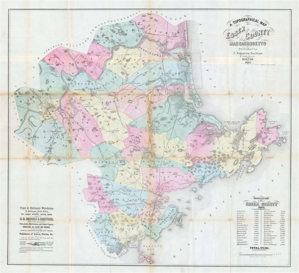

FOR THE ORIGINAL ANTIQUE MAP, WITH HISTORICAL ANALYSIS, CLICK HERE.
Digital Map Information
Geographicus maintains an archive of high-resolution rare map scans. We scan our maps at 300 DPI or higher, with newer images being 600 DPI, (either TIFF or JPEG, depending on when the scan was done) which is most cases in suitable for enlargement and printing.
Delivery
Once you purchase our digital scan service, you will receive a download link via email - usually within seconds. Digital orders are delivered as ZIP files, an industry standard file compression protocol that any computer should be able to unpack. Some of our files are very large, and can take some time to download. Most files are saved into your computer's 'Downloads' folder. All delivery is electronic. No physical product is shipped.
Credit and Scope of Use
You can use your digial image any way you want! Our digital images are unrestricted by copyright and can be used, modified, and published freely. The textual description that accompanies the original antique map is not included in the sale of digital images and remains protected by copyright. That said, we put significant care and effort into scanning and editing these maps, and we’d appreciate a credit when possible. Should you wish to credit us, please use the following credit line:
Courtesy of Geographicus Rare Antique Maps (http://www.geographicus.com).
How Large Can I Print?
In general, at 300 DPI, you should at least be able to double the size of the actual image, more so with our 600 DPI images. So, if the original was 10 x 12 inches, you can print at 20 x 24 inches, without quality loss. If your display requirements can accommodate some loss in image quality, you can make it even larger. That being said, no quality of scan will allow you to blow up at 10 x 12 inch map to wall size without significant quality loss. For more information, it is best consult a printer or reprographics specialist.
Refunds
If the high resolution image you ordered is unavailable, we will fully refund your purchase. Otherwise, digital images scans are a service, not a tangible product, and cannot be returned or refunded once the download link is used.
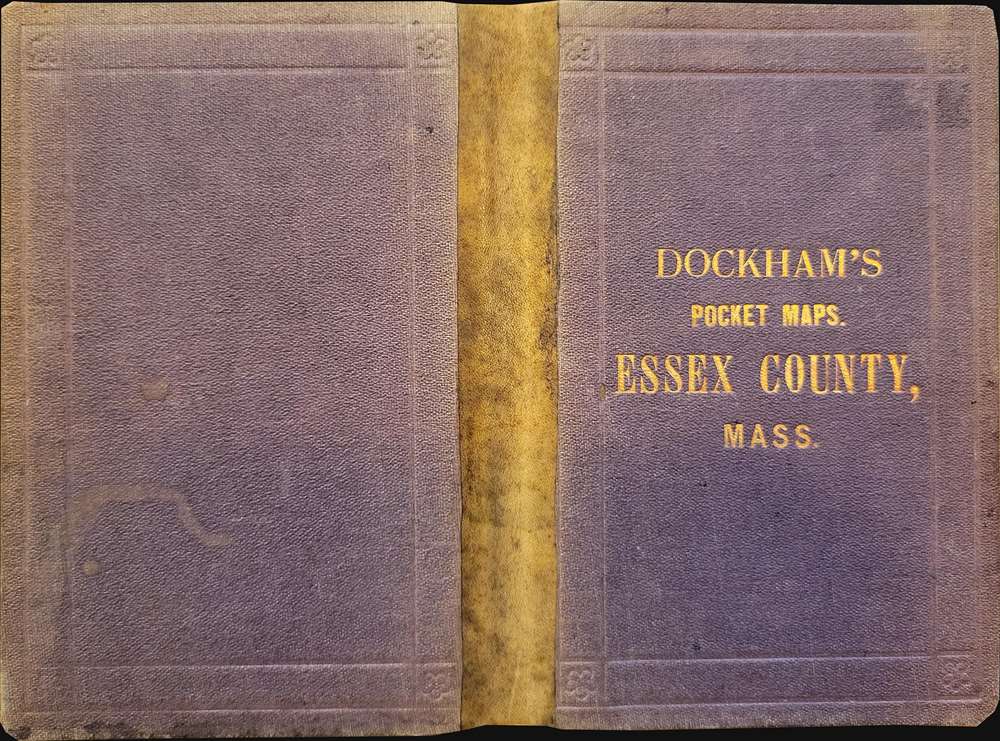
Croydon Augustine Dockham (July 4, 1835 - September 6, 1907) was an American printer and publisher. Born in Methuen, Massachusetts, Dockham attended school in Newburyport, Massachusetts. He began publishing directories of Haverhill, Lawrence, and Newburyport, Massachusetts at the age of seventeen. In 1901 Dockham held the distinction of being the oldest living directory publisher in the United States. He established the Lawrence Daily Journal in Lawrence, Massachusetts, in December 1860 and operated the newspaper through the entire American Civil War. In 1866, Dockham began publishing his 'American Report and Directory of the Textile Manufactures and Dry Goods Trade' which dealt with 'the cotton, woollen, silk, and linen manufactures in the United States, Canada, and Mexico'. Dockham moved to Chelsea in 1877 while maintaining a summer home in North Reading. He married Margaret Anson in 1868, with whom he had five children. Dockham died of intestinal cancer on September 6, 1907. More by this mapmaker...
Copyright © 2025 Geographicus Rare Antique Maps | Geographicus Rare Antique Maps
This copy is copyright protected.
Copyright © 2025 Geographicus Rare Antique Maps