Digital Image: 1845 Chambers Map of France in Departments
FranceDepartments-chambers-1845_d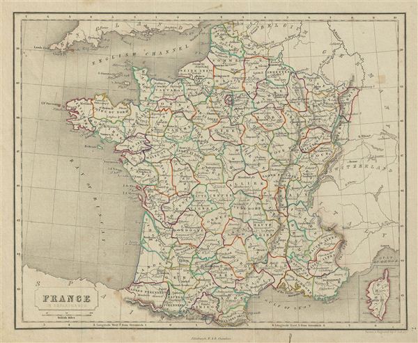

Title
France in Departments.
1845 (undated) 9 x 11 in (22.86 x 27.94 cm)
1845 (undated) 9 x 11 in (22.86 x 27.94 cm)
Description
FOR THE ORIGINAL ANTIQUE MAP, WITH HISTORICAL ANALYSIS, CLICK HERE.
Digital Map Information
Geographicus maintains an archive of high-resolution rare map scans. We scan our maps at 300 DPI or higher, with newer images being 600 DPI, (either TIFF or JPEG, depending on when the scan was done) which is most cases in suitable for enlargement and printing.
Delivery
Once you purchase our digital scan service, you will receive a download link via email - usually within seconds. Digital orders are delivered as ZIP files, an industry standard file compression protocol that any computer should be able to unpack. Some of our files are very large, and can take some time to download. Most files are saved into your computer's 'Downloads' folder. All delivery is electronic. No physical product is shipped.
Credit and Scope of Use
You can use your digial image any way you want! Our digital images are unrestricted by copyright and can be used, modified, and published freely. The textual description that accompanies the original antique map is not included in the sale of digital images and remains protected by copyright. That said, we put significant care and effort into scanning and editing these maps, and we’d appreciate a credit when possible. Should you wish to credit us, please use the following credit line:
Courtesy of Geographicus Rare Antique Maps (https://www.geographicus.com).
How Large Can I Print?
In general, at 300 DPI, you should at least be able to double the size of the actual image, more so with our 600 DPI images. So, if the original was 10 x 12 inches, you can print at 20 x 24 inches, without quality loss. If your display requirements can accommodate some loss in image quality, you can make it even larger. That being said, no quality of scan will allow you to blow up at 10 x 12 inch map to wall size without significant quality loss. For more information, it is best consult a printer or reprographics specialist.
Refunds
If the high resolution image you ordered is unavailable, we will fully refund your purchase. Otherwise, digital images scans are a service, not a tangible product, and cannot be returned or refunded once the download link is used.
Cartographer
Chambers (fl. C. 1816 - 1920) was a Scottish bookselling and publishing firm run by brothers William Chambers (April 16, 1800 - May 20, 1883) and Robert Chambers (July 10, 1802 - March 17, 1871). They were born into a prosperous family on the border between Scotland and England. Unfortunately, by puberty their family fortunes had declined due to their father's bad loans to French prisoners of war. Left with little Robert Chambers, then 16, opened a small bookstand on Leith Walk, Edinburgh. His brother William, at 18, opened a bookstand of his own on the same street. A short time afterwards the two joined forces. Due to their thrifty business practices and hard work, the duo quickly developed a thriving business and began publishing. Their first publishing venture was 750 copies of The Songs of Robert Burns, a sure bet in 19th century Edinburgh. They followed up with a series of educational works including several atlases, an encyclopedia, and more Burns books. The firm continued to publish into the early 20th century. More by this mapmaker...