This copy is copyright protected.
Copyright © 2025 Geographicus Rare Antique Maps
Digital Image: 1828 Malte-Brun Map of France in Departments
FranceDept-maltebrun-1828_d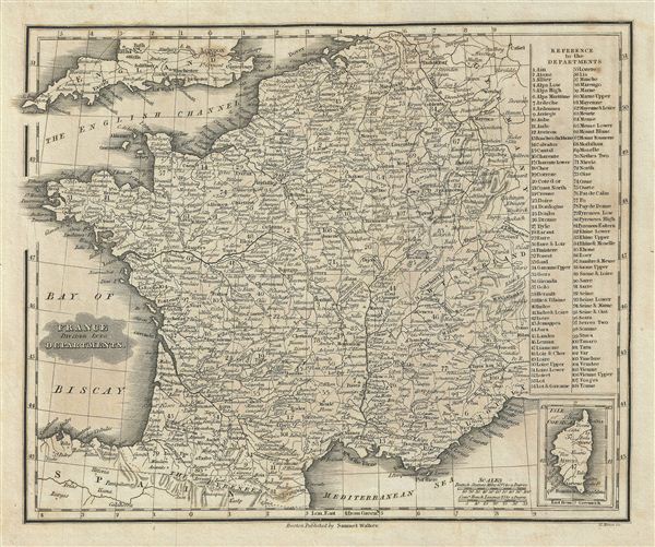

FOR THE ORIGINAL ANTIQUE MAP, WITH HISTORICAL ANALYSIS, CLICK HERE.
Digital Map Information
Geographicus maintains an archive of high-resolution rare map scans. We scan our maps at 300 DPI or higher, with newer images being 600 DPI, (either TIFF or JPEG, depending on when the scan was done) which is most cases in suitable for enlargement and printing.
Delivery
Once you purchase our digital scan service, you will receive a download link via email - usually within seconds. Digital orders are delivered as ZIP files, an industry standard file compression protocol that any computer should be able to unpack. Some of our files are very large, and can take some time to download. Most files are saved into your computer's 'Downloads' folder. All delivery is electronic. No physical product is shipped.
Credit and Scope of Use
You can use your digial image any way you want! Our digital images are unrestricted by copyright and can be used, modified, and published freely. The textual description that accompanies the original antique map is not included in the sale of digital images and remains protected by copyright. That said, we put significant care and effort into scanning and editing these maps, and we’d appreciate a credit when possible. Should you wish to credit us, please use the following credit line:
Courtesy of Geographicus Rare Antique Maps (http://www.geographicus.com).
How Large Can I Print?
In general, at 300 DPI, you should at least be able to double the size of the actual image, more so with our 600 DPI images. So, if the original was 10 x 12 inches, you can print at 20 x 24 inches, without quality loss. If your display requirements can accommodate some loss in image quality, you can make it even larger. That being said, no quality of scan will allow you to blow up at 10 x 12 inch map to wall size without significant quality loss. For more information, it is best consult a printer or reprographics specialist.
Refunds
If the high resolution image you ordered is unavailable, we will fully refund your purchase. Otherwise, digital images scans are a service, not a tangible product, and cannot be returned or refunded once the download link is used.
Conrad Malte-Brun (August 12, 1755 - December 14, 1826) was an important late 18th and early 19th century Danish / French cartographer and revolutionary. Conrad was born in Thisted, Denmark. His parents encouraged him to a career in the Church, but he instead enrolled in the University of Copenhagen. In the liberal hall of academia Conrad became an ardent supporter of of the French Revolution and the ideals of a free press. Despite the harsh censorship laws of crown prince Frederick VI, Malte-Brun published numerous pamphlets criticizing the Danish government. He was finally charged with defying censorship laws in 1799 and forced to flee to Sweden and ultimately France. Along with colleague Edme Mentelle, Malte-Brun published his first cartographic work, the Géographie mathématique, physique et politique de toutes les parties du monde (6 vols., published between 1803 and 1807). Conrad went on to found Les Annales des Voyages (in 1807) and Les Annales des Voyages, de la Géographie et de l'Histoire (in 1819). He also founded the Paris Société de Géographie . In time, Conrad Malte-Brun became known as one of the finest French cartographers of his time. His son Victor Adolphe Malte-Brun (1816 - July 13, 1889) followed in his footsteps, republishing many of Conrad's original 18th century maps as well as producing numerous maps of his own. The Malte-Brun firm operated well into the 1880s. More by this mapmaker...
Copyright © 2025 Geographicus Rare Antique Maps | Geographicus Rare Antique Maps
This copy is copyright protected.
Copyright © 2025 Geographicus Rare Antique Maps