Digital Image: 1905 Edwards Map of Michigan Northern Peninsula Copper Mines w/manuscript
NorthernMichigan-edwards-1905_d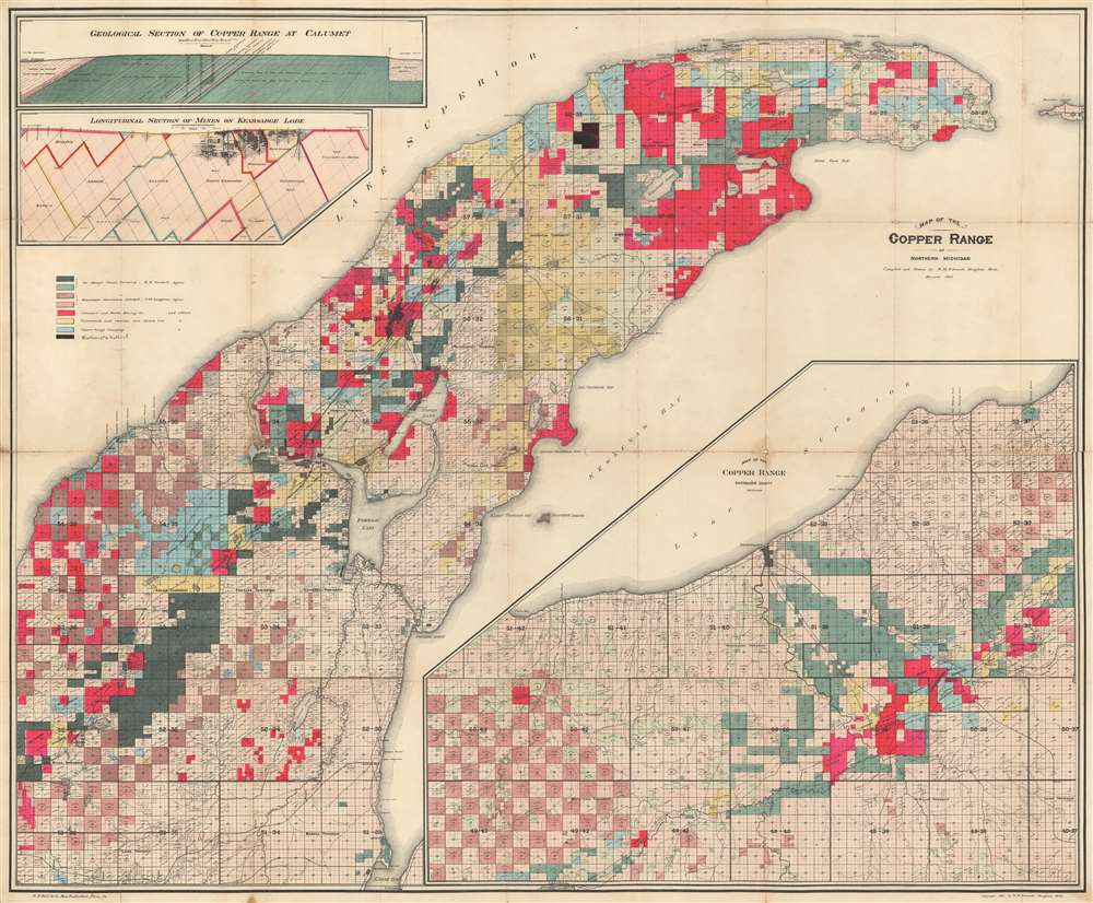

Title
Map of the Copper Range of Northern Michigan.
1905 (dated) 32.75 x 38.5 in (83.185 x 97.79 cm) 1 : 33000
1905 (dated) 32.75 x 38.5 in (83.185 x 97.79 cm) 1 : 33000
Description
FOR THE ORIGINAL ANTIQUE MAP, WITH HISTORICAL ANALYSIS, CLICK HERE.
Digital Map Information
Geographicus maintains an archive of high-resolution rare map scans. We scan our maps at 300 DPI or higher, with newer images being 600 DPI, (either TIFF or JPEG, depending on when the scan was done) which is most cases in suitable for enlargement and printing.
Delivery
Once you purchase our digital scan service, you will receive a download link via email - usually within seconds. Digital orders are delivered as ZIP files, an industry standard file compression protocol that any computer should be able to unpack. Some of our files are very large, and can take some time to download. Most files are saved into your computer's 'Downloads' folder. All delivery is electronic. No physical product is shipped.
Credit and Scope of Use
You can use your digial image any way you want! Our digital images are unrestricted by copyright and can be used, modified, and published freely. The textual description that accompanies the original antique map is not included in the sale of digital images and remains protected by copyright. That said, we put significant care and effort into scanning and editing these maps, and we’d appreciate a credit when possible. Should you wish to credit us, please use the following credit line:
Courtesy of Geographicus Rare Antique Maps (http://www.geographicus.com).
How Large Can I Print?
In general, at 300 DPI, you should at least be able to double the size of the actual image, more so with our 600 DPI images. So, if the original was 10 x 12 inches, you can print at 20 x 24 inches, without quality loss. If your display requirements can accommodate some loss in image quality, you can make it even larger. That being said, no quality of scan will allow you to blow up at 10 x 12 inch map to wall size without significant quality loss. For more information, it is best consult a printer or reprographics specialist.
Refunds
If the high resolution image you ordered is unavailable, we will fully refund your purchase. Otherwise, digital images scans are a service, not a tangible product, and cannot be returned or refunded once the download link is used.
Cartographer S
Richard M. Edwards (1864 - June 11, 1942) was an American mining engineer. Born in Michigan, Edwards attended the Columbia School of Mines in New York, New York and graduated in 1886. Upon graduation, Edwards began working for the mining companies of Stephen R. Dow and Company in the Lake Superior district of Michigan. Edwards also held a teaching position at the Houghton College School of Mines in Houghton, Michigan following graduation until 1889. Two of the mining companies he worked for are the Tamarack Mining Company and the Isle Royale Copper Company. Edwards married in 1893. More by this mapmaker...
E.P. Noll and Company (fl. c. 1890 - 1910) was a map publishing firm based in Philadelphia, Pennsylvania active during the late 19th and early 20th century. The firm published atlases and separate issue maps. Learn More...
References
OCLC 761319850.