This copy is copyright protected.
Copyright © 2025 Geographicus Rare Antique Maps
Digital Image: 1809 Savinkov Map of the Russian Empire
RussianEmpire-savinkov-1809_d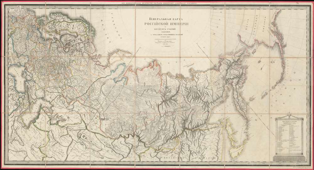

FOR THE ORIGINAL ANTIQUE MAP, WITH HISTORICAL ANALYSIS, CLICK HERE.
Digital Map Information
Geographicus maintains an archive of high-resolution rare map scans. We scan our maps at 300 DPI or higher, with newer images being 600 DPI, (either TIFF or JPEG, depending on when the scan was done) which is most cases in suitable for enlargement and printing.
Delivery
Once you purchase our digital scan service, you will receive a download link via email - usually within seconds. Digital orders are delivered as ZIP files, an industry standard file compression protocol that any computer should be able to unpack. Some of our files are very large, and can take some time to download. Most files are saved into your computer's 'Downloads' folder. All delivery is electronic. No physical product is shipped.
Credit and Scope of Use
You can use your digial image any way you want! Our digital images are unrestricted by copyright and can be used, modified, and published freely. The textual description that accompanies the original antique map is not included in the sale of digital images and remains protected by copyright. That said, we put significant care and effort into scanning and editing these maps, and we’d appreciate a credit when possible. Should you wish to credit us, please use the following credit line:
Courtesy of Geographicus Rare Antique Maps (http://www.geographicus.com).
How Large Can I Print?
In general, at 300 DPI, you should at least be able to double the size of the actual image, more so with our 600 DPI images. So, if the original was 10 x 12 inches, you can print at 20 x 24 inches, without quality loss. If your display requirements can accommodate some loss in image quality, you can make it even larger. That being said, no quality of scan will allow you to blow up at 10 x 12 inch map to wall size without significant quality loss. For more information, it is best consult a printer or reprographics specialist.
Refunds
If the high resolution image you ordered is unavailable, we will fully refund your purchase. Otherwise, digital images scans are a service, not a tangible product, and cannot be returned or refunded once the download link is used.
Alexsandr Dmitrievich Savinkov (1767 - c. 1849) was a Russian cartographer and engraver active in the late 18th and early 19th centuries. Little is known of his early life and education, but was born into a military family and joined the Geographical Department of the Tzar's Cabinet in 1787. There he mastered engraving under K. F. Forlov. He engraved six of the 44 maps in the 1792 Russian Atlas. He was recommended for elevation to master engraver in 1797, along with fellow engravers K. Ushakov, T. Mikhailov, and A Belousov. In the following year, 1798, Savinkov was transferred to the Map Depot where he became involved in several national mapping projections. He remained with the map depot until 1811, engraving several atlas maps (1802), a plan of St. Petersburg (1804), a postal map of the Russian Empire (1804), and atlas (1807) and a large-scale general map of the empire (1809). Throughout 1811, he severed as Commissioner of the Provisions Service, beginning his mos prolific period as a map publisher and engraver. In March of 1812, he became a member Tzar Alexander I's retinue in the quartermaster's unit, where he remained until 1818. At this time, he transferred to the Marine Printer, where he produced multiple maps until 1822. At this time, he retired with the rank of Court Councilor. While he officially retired, at just 55, he continued to publish maps for the subsequent 20 years, with his last known map being a plan of St. Petersburg, 1841. He lived at 51 Basseynaya, and had estate in Vyshnevolotsk District, where he maintained 17 serfs. More by this mapmaker...
Copyright © 2025 Geographicus Rare Antique Maps | Geographicus Rare Antique Maps
This copy is copyright protected.
Copyright © 2025 Geographicus Rare Antique Maps