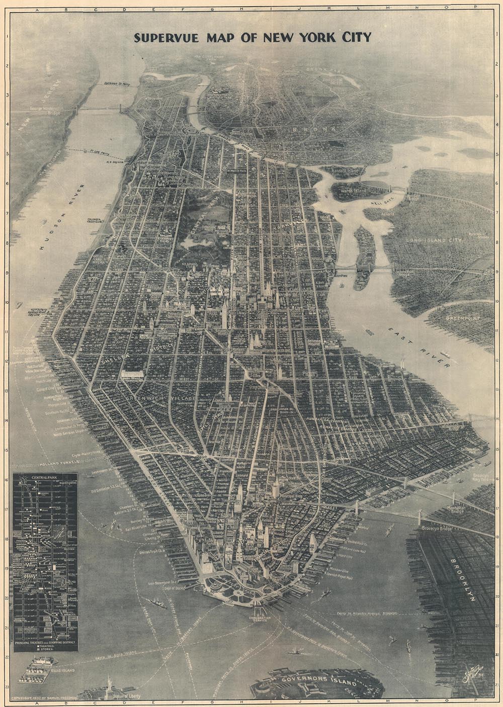
Mapmaker in Focus: Edward Spofford, inventor of the Supervue
Forgotten 20th Century Viewmaker
How aerial photography inspired a new kind of bird's-eye view.
by Kevin Brown • January 07, 2025
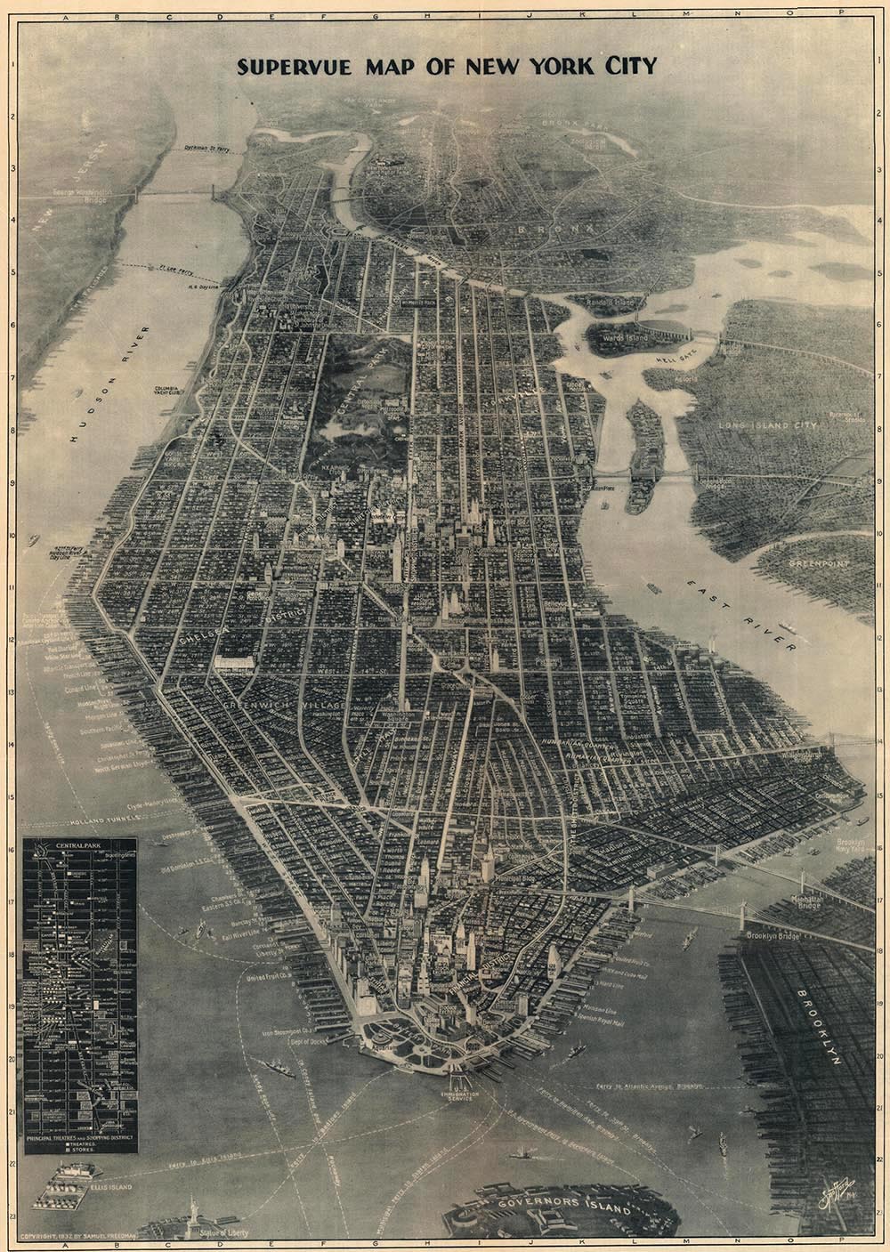
We love discovering new cartographers and rediscovering old ones. Today, we are bringing Edward Wiltsie Spofford (August 29, 1863 - January 4, 1946) into focus. Spofford was an American commercial artist who pioneered a new style of hyper-realistic bird's-eye view, which came to be known as the 'supervue'.
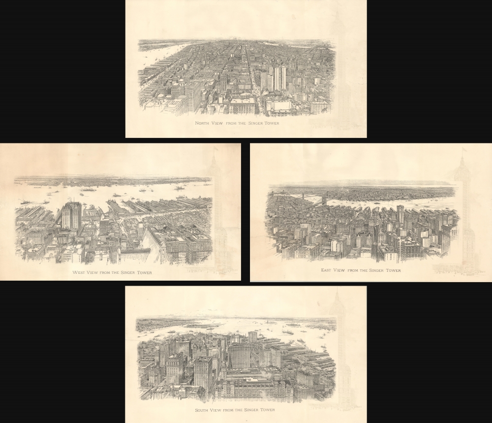
His early work was influenced by the dawn of the skyscraper era. By the early 20th century, soaring towers, the likes of which could scarcely be imaged a decade before, began to dot the New York Skyline. One of Spofford's first commissions was a series of 1909 views from the observation deck of the Singer Tower, at the time the tallest building in the world at 612 feet (187 meters). Although not everyone had access to the private office tower, everyone was curious about the view, which would have been an unprecedented novelty at the time.
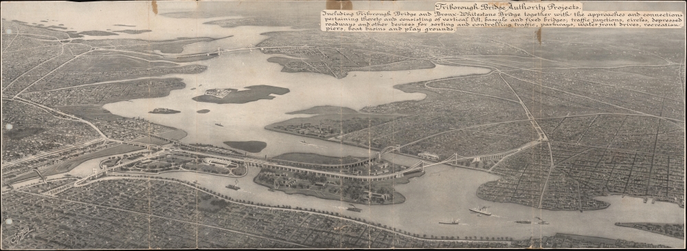
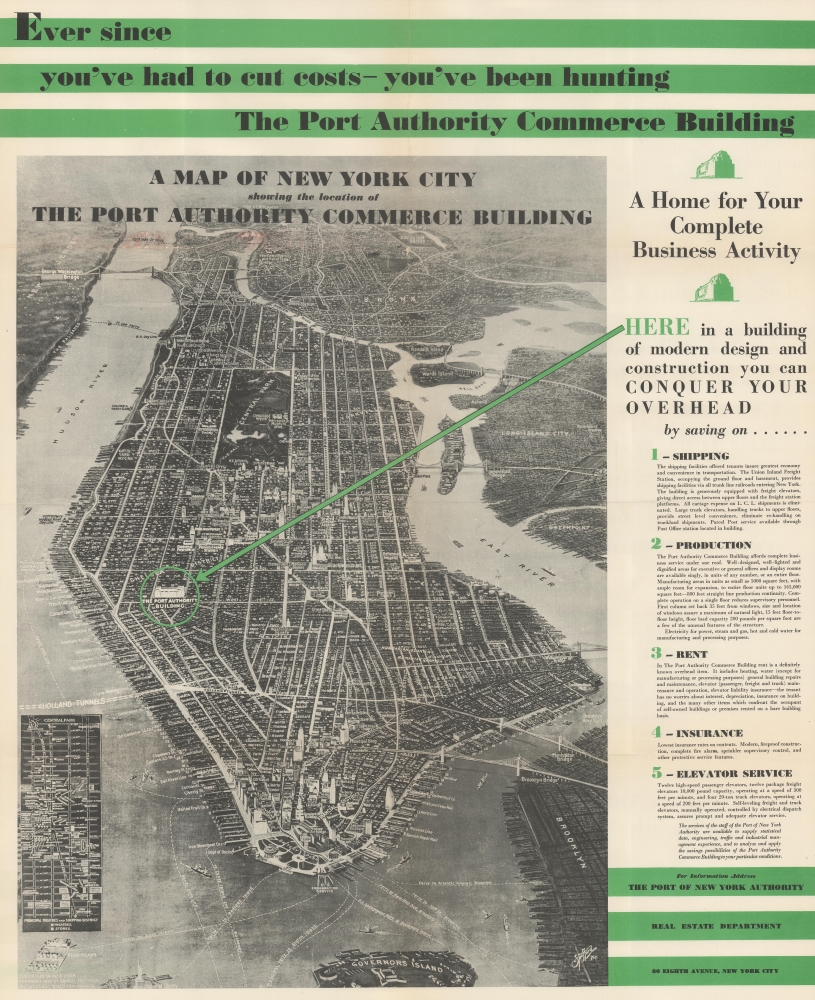
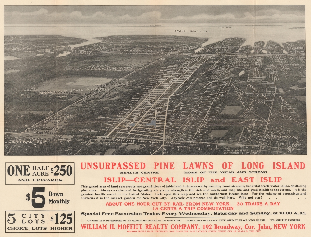
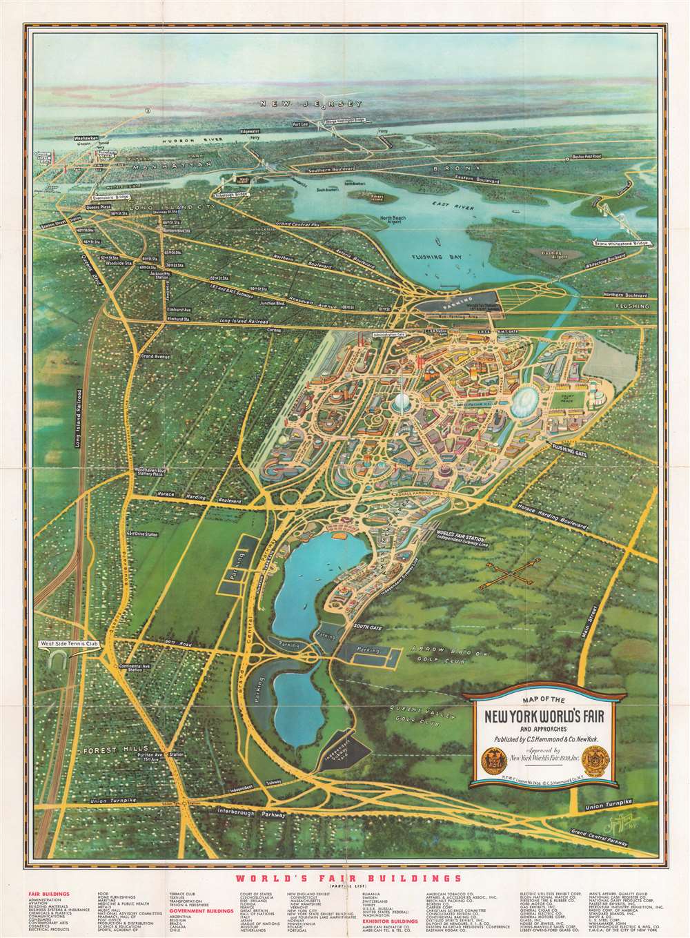
Within a decade, a new innovation paved the way for even more dramatic and realistic views - aerial photography. Aerial photography emerged during World War I (1914 - 1918) when it was used for reconnaissance and mapmaking. After the war, the process was commercialized to allow the general public to see the world in a new and novel way. Sure, 19th-century viewmakers sometimes used tethered hot air balloons to observe their focus areas more clearly, but they still relied on rough sketches composed on the fly as the basis for their views. Moreover, tethered as they were, none were ballooning adventurers, pushing the kind of high altitudes that made New York's skyscrapers look small. That was a feat reserved for 20th-century aerial photography. From about 1920, pioneers of aerial photography, most notably Sherman Mills Fairchild (1896 – 1971), produced the first widely available high-altitude photographs of major cities, including New York. Spofford used these images as a baseline for his own 'supervues', which incorporated graphic design elements such as in situ labeling, color highlighting, and exaggerated vertical scale to emphasize important buildings, avenues, sights, or whole neighborhoods.
Remarkably, Spofford's work remained relatively little known, likely due to his tendency to work as an artist for hire with various publishers, who retained the copyrights for his unique works. These include well-known publishers like Caleb S. Hammond and Samuel Freedman and large corporations like Singer Sewing Machines. Most of Spofford's work focused on the New York area, but we see views of Baltimore and Chicago in his corpus.
By far, his most widely circulated work is the 'Supervue' of Manhattan, first issued in 1932 with Samuel Freedman. The earliest examples of this view feature Spofford's styled signature in the lower right. The view was published extensively from 1932 to the 1950s and licensed to many different companies, from the Port Authority to hotels and other private enterprises. After 1934, Spofford's name was removed entirely, so it is more commonly associated with the copyright owner, Freedman.
Spofford was born in 1863 in Groveland, Massachusetts. We have no record of his early education, but he appears as an engraver in Boston directories as early as 1883. He lived in Chicago for a time but was active in New York from at least 1908. His son, Edward V. Spofford (1894 - 1940) was also a commercial artist and may have collaborated with his father until his untimely 1940 death from a sudden cerebral hemorrhage. This is one of those sad stories where parent outlives child, but not by much; the elder Spofford died just 6 years later in 1946.
All Spofford maps and views: https://www.geographicus.com/P/RareMaps/spoffordedward
Other Spofford Views:
Related Posts and Information
Recent Posts
Mapmaker in Focus: Edward Spofford, inventor of the Supervue
How to Frame Antique Maps
Gordon-Michael Scallion's Doomsday Maps
The Most Successful 16th Century Geographic Fraud
W. H. Whitney Maps of Railroad Cities
Cartographer Posts
Mapmaker in Focus: Edward Spofford, inventor of the Supervue
W. H. Whitney Maps of Railroad Cities
Categories
Cartographer Posts
Cartographic Themes
Map How-To
all
Archives
December, 2024
January, 2024
December, 2023
January, 2023
archive article list

