All things 'rare maps'. Here we focus on different aspects of antique maps that cannot otherwise be addressed through our category system or product listings.
An Evolving Cartobibliography
Geographicus Rare Antique Maps cartobibliography of the Lindgren Brothers Hysterical Map Series, cataloging their map output from roughly 1932 - 1950.
Kevin J. Brown,
July 02, 2025
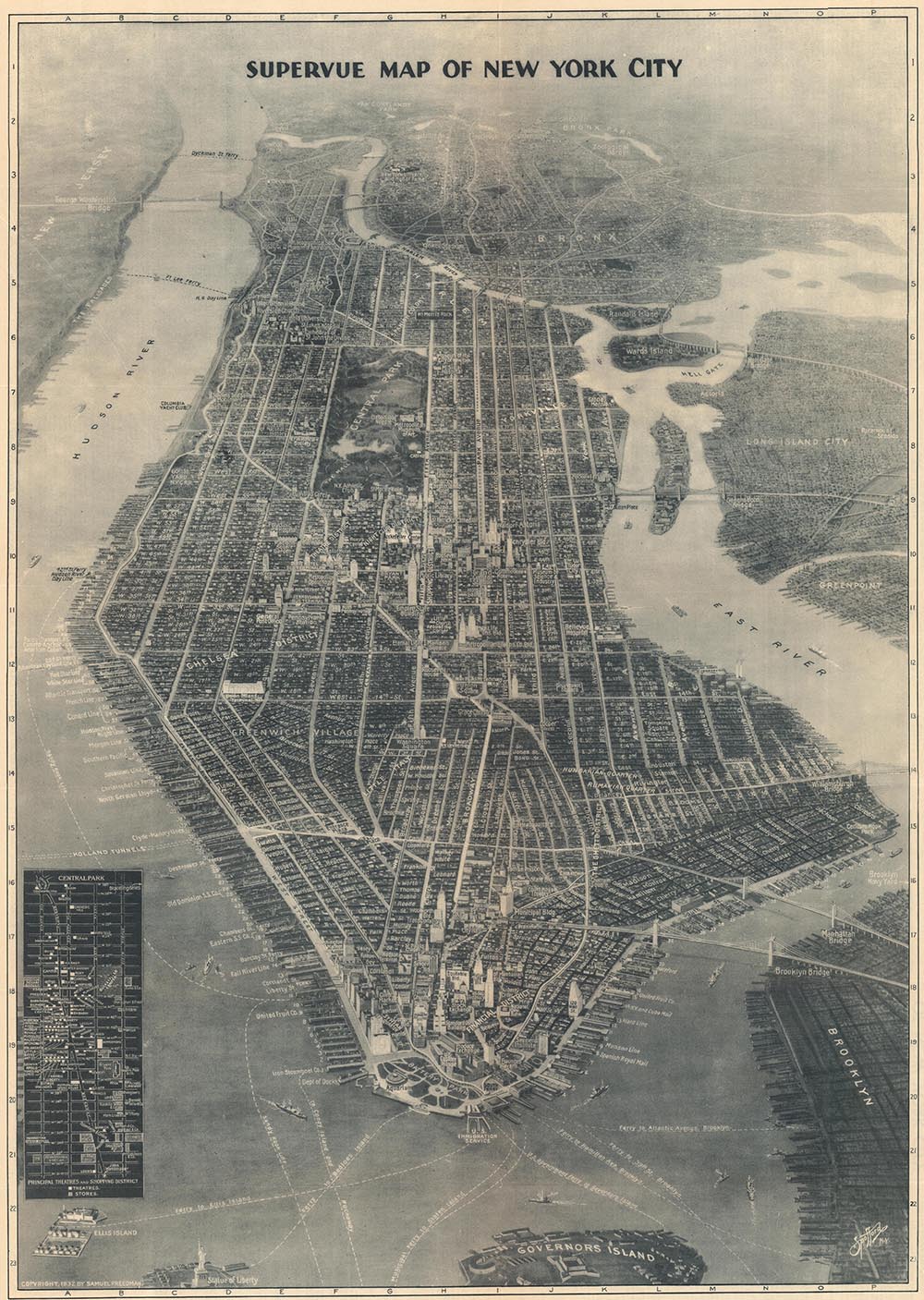
Forgotten 20th Century Viewmaker
How aerial photography inspired a new kind of bird's-eye view.
Kevin Brown,
January 07, 2025
Special Framing Needs of Antique Maps and Documents
Dos and Don't of Framing Rare Maps and Documents
Kevin Brown,
December 25, 2024
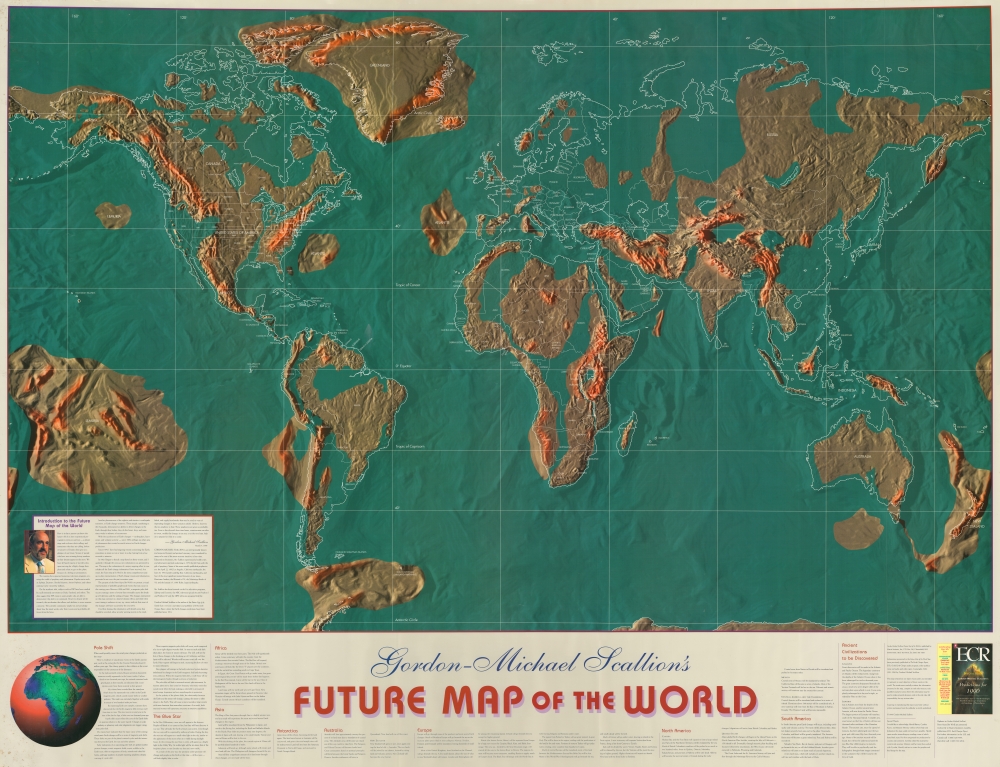
Using cartography to push prophecy.
How Gordon-Michael Scallion used cartography and psudo-science to promote his prophetic doomsday visions.
James Roy,
January 17, 2024
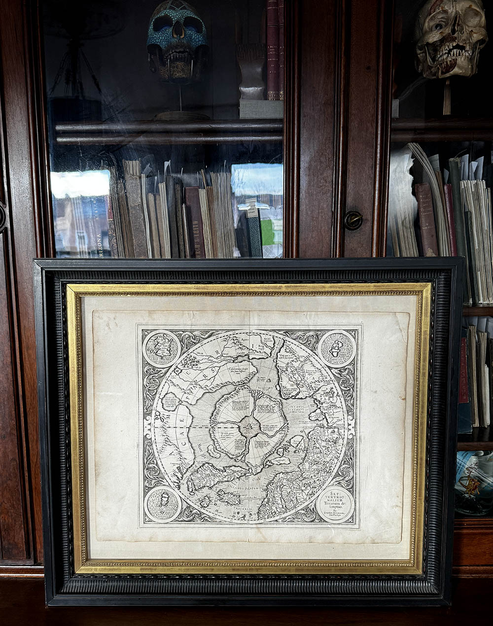
The Greatest Phantom Island of the Old World.
Nicoló Zeno the Younger's attempt to co-opt Columbus's 1492 discovery of America and reattribute that feat to his own ancestors, Nicoló and Antonio Zeno. The Zeno mapping of the Arctic proved to be one of the most enduring cartographic frauds, persisting from the 16th through the 18th centuries - and beyond.
James Roy,
December 01, 2023
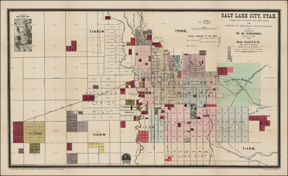
A Little-known Series of Important Early Maps of Western American Railroad Cities.
J. H. Whitney issued a his railroad maps between 1888 and 1890. They are rare and little known, but represent some of the earliest and most important maps of their respective subjects: Salt Lake City, Pueblo, Trinidad, Portland, Seattle, Port Townsend, Astoria, Spokane, Bellingham Bay.
Kevin Brown,
January 10, 2023